


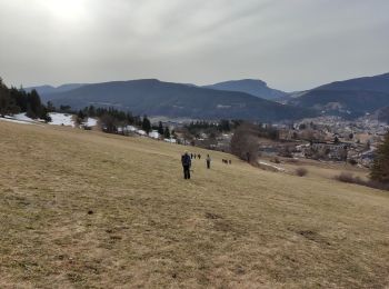
10,2 km | 24 km-effort
Villard-de-Lans: Scopri i migliori percorsi: 2 sport invernali, 1 sci alpino, 1 sci di fondo, 4 sci alpinismo e 32 racchette da neve. Tutti questi percorsi, itinerari e attività outdoor sono disponibili nelle nostre app SityTrail per smartphone e tablet.
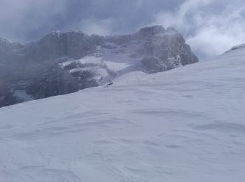
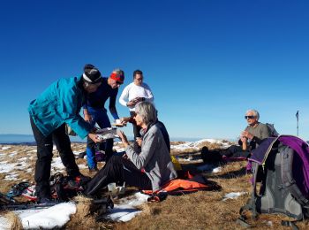
Sci alpinismo


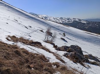
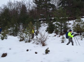
Racchette da neve
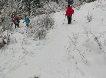
Racchette da neve
Sci alpinismo
Racchette da neve

Racchette da neve
Racchette da neve
Racchette da neve
Racchette da neve
Sport invernali
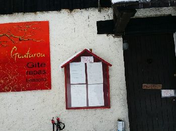
• Bois barbu-valchevriere-goutarou
Racchette da neve
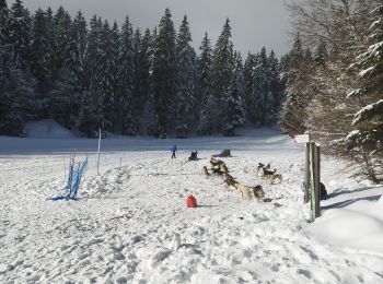
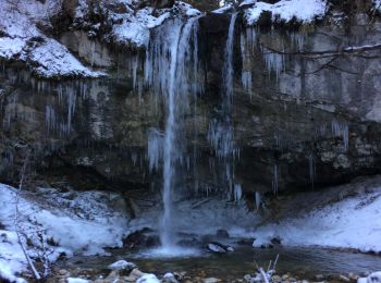
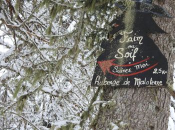
• Rejoignez l'Auberge Forestière de Malaterre. L'espace nordique du Haut Vercors offre 50 km de sentiers balisés et séc...

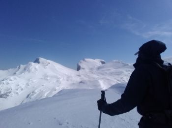
Sci alpinismo
Racchette da neve
Racchette da neve
Racchette da neve
Racchette da neve
Racchette da neve
Racchette da neve

Sci alpino
Sci alpinismo
20 percorsi visualizzati su 40
Applicazione GPS da escursionismo GRATUITA
 SityTrail
IGN / Istituti geografici
SityTrail World
Il mondo è tuo