


11,4 km | 12,7 km-effort
Contea di Kronoberg: Scopri i migliori percorsi: 10 a piedi e 1 marcia. Tutti questi percorsi, itinerari e attività outdoor sono disponibili nelle nostre app SityTrail per smartphone e tablet.
A piedi


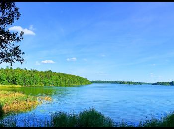
• Löp eller vandra det drygt elva kilometer långa varvet runt Södra Bergundasjön. I så fall har du sällskap av en mängd...
A piedi
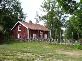
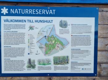
• Trail created by Linnés Rashult.
A piedi
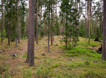
A piedi
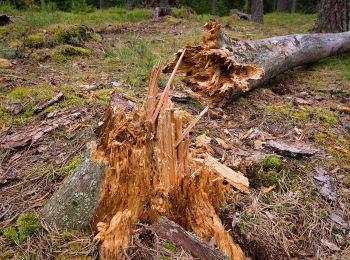
A piedi
A piedi

A piedi
A piedi
Marcia

A piedi
A piedi
11 percorsi visualizzati su 11
Applicazione GPS da escursionismo GRATUITA
 SityTrail
IGN / Istituti geografici
SityTrail World
Il mondo è tuo