


7,1 km | 15,6 km-effort
Cluj: Scopri i migliori percorsi: 33 a piedi e 1 marcia. Tutti questi percorsi, itinerari e attività outdoor sono disponibili nelle nostre app SityTrail per smartphone e tablet.
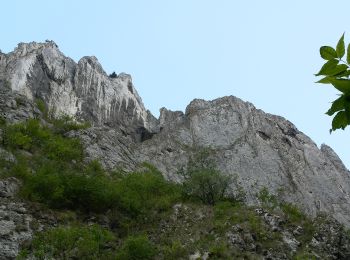
A piedi


• Symbol: Red dot with white border
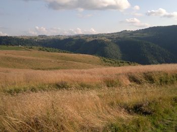
A piedi
A piedi

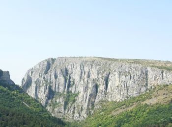
A piedi
A piedi
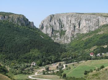
A piedi
A piedi
A piedi
A piedi
A piedi
A piedi
A piedi
• Symbol: Red cross on white background
A piedi
• Symbol: Red triangle with white border

A piedi
• Symbol: Blue cross on white background

A piedi
• horizontal lines: white-orange-white
A piedi
A piedi
A piedi
• Symbol: Yellow triangle with white border
A piedi
• Trail created by Casa de oaspeți Podina. Symbol: Red dot with white border
20 percorsi visualizzati su 34
Applicazione GPS da escursionismo GRATUITA
 SityTrail
IGN / Istituti geografici
SityTrail World
Il mondo è tuo