


7,9 km | 10,6 km-effort
powiat karkonoski: Scopri i migliori percorsi: 14 a piedi. Tutti questi percorsi, itinerari e attività outdoor sono disponibili nelle nostre app SityTrail per smartphone e tablet.
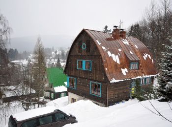
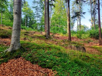
A piedi


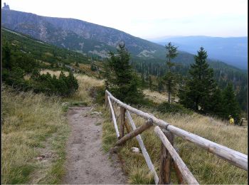
• Percorso creato da cz:KČT.
![Percorso A piedi Odrodzenie - [Z] U Dívčí lávky - Špindlerova bouda - Photo](https://media.geolcdn.com/t/350/260/1e535bb3-551d-4983-b36f-519b2ed8b86d.jpeg&format=jpg&maxdim=2)
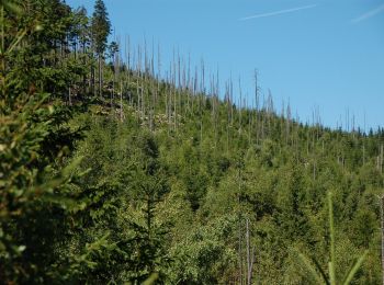
A piedi
• Percorso creato da cz:KČT.
A piedi
• Symbol: black
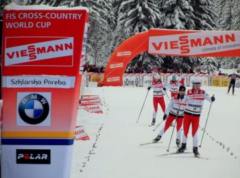
A piedi
A piedi
A piedi
A piedi
A piedi
A piedi
A piedi

A piedi
A piedi
A piedi

A piedi
14 percorsi visualizzati su 14
Applicazione GPS da escursionismo GRATUITA
 SityTrail
IGN / Istituti geografici
SityTrail World
Il mondo è tuo