


4 km | 5,9 km-effort
powiat krośnieński: Scopri i migliori percorsi: 11 a piedi. Tutti questi percorsi, itinerari e attività outdoor sono disponibili nelle nostre app SityTrail per smartphone e tablet.
A piedi


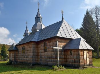
• Trail created by Gmina Rymanów.
A piedi
• Zmieniłem kolor szlaku na czarny w celu poprawienia czytelności na mapach. W pewnym momencie równolegle przebiegały t...
A piedi
• Sito web: http://www.szlaki-beskid.klikklik.pl/szlaki/szlaki_gminne_inne/szlak_rymanow_przymiarki_iwonicz.php
A piedi
• Symbol: yellow (biało-żółty kwadrat)
A piedi
A piedi
A piedi
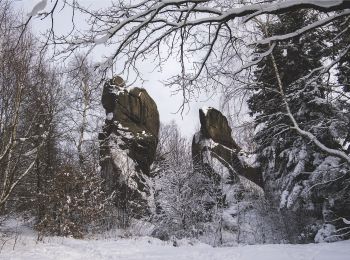
• Trail created by Minister Środowiska.
A piedi
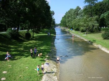
• Trail created by Nadleśnictwo Dukla.
A piedi

A piedi
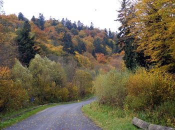
• Trail created by Minister Środowiska.
A piedi
11 percorsi visualizzati su 11
Applicazione GPS da escursionismo GRATUITA
 SityTrail
IGN / Istituti geografici
SityTrail World
Il mondo è tuo