


4,2 km | 4,7 km-effort
Beekdaelen: Scopri i migliori percorsi: 19 a piedi, 45 marcia e 1 camminata nordica. Tutti questi percorsi, itinerari e attività outdoor sono disponibili nelle nostre app SityTrail per smartphone e tablet.
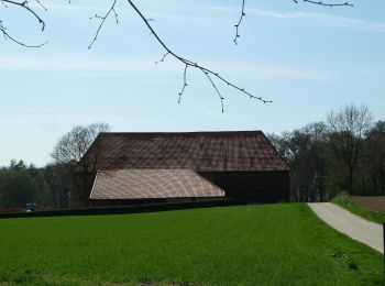
A piedi


• Trail created by Gemeente Nuth.
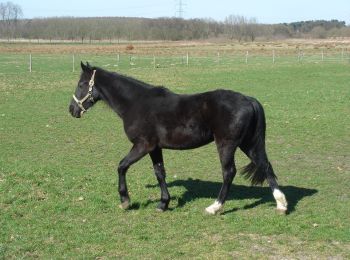
A piedi
• Trail created by Gemeente Nuth. Symbol: blauw
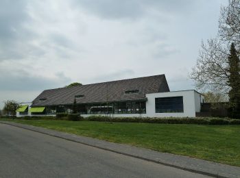
A piedi
• Trail created by Gemeente Nuth.
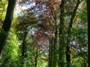
A piedi
• Trail created by Gemeente Nuth.
A piedi
• Trail created by Gemeente Nuth.
A piedi
• Trail created by Gemeente Nuth.
A piedi
• Trail created by Gemeente Nuth.
A piedi
• Trail created by Gemeente Nuth.
A piedi
• Trail created by Gemeente Nuth.
A piedi
• Trail created by Gemeente Schinnen.
A piedi
• Trail created by Gemeente Schinnen.
A piedi
• Symbol: Hintergrund: schwarz quadratisch,Vordergrund: roter Balken
A piedi
• Symbol: Hintergrund: schwarz quadratisch,Vordergrund: grüner Balken
A piedi
• Symbol: Hintergrund: schwarz quadratisch; Vordergrund: brauner Balken
A piedi
• Symbol: Blauer Balken auf schwarzem Grund
A piedi
• Symbol: Hintergrund: schwarz quadratisch,Vordergrund: gelber Balken
Marcia

Marcia
• More information on : http://www.wandelgidszuidlimburg.com
A piedi
A piedi
20 percorsi visualizzati su 65
Applicazione GPS da escursionismo GRATUITA
 SityTrail
IGN / Istituti geografici
SityTrail World
Il mondo è tuo