


7,7 km | 8,3 km-effort
Bloemendaal: Scopri i migliori percorsi: 1 marcia e 9 a piedi. Tutti questi percorsi, itinerari e attività outdoor sono disponibili nelle nostre app SityTrail per smartphone e tablet.
A piedi


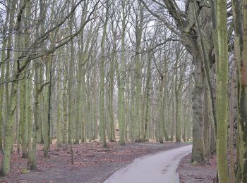
• Ontdek de Amsterdamse Waterleidingduinen. Bijvoorbeeld via een van de vele mooie wandelroutes. Of een leuke excursie ...

A piedi
• Oranje route was aanvankelijk (2019) tijdelijke route, maar heeft in 2020 blauwe route vervangen Symbol: orange
A piedi
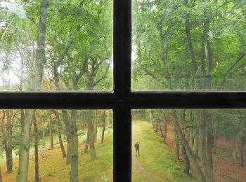
• Ontdek de Amsterdamse Waterleidingduinen. Bijvoorbeeld via een van de vele mooie wandelroutes. Of een leuke excursie ...
A piedi
• Symbol: roundtrip
A piedi
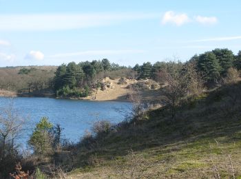
• Ontdek de Amsterdamse Waterleidingduinen. Bijvoorbeeld via een van de vele mooie wandelroutes. Of een leuke excursie ...

A piedi

A piedi
A piedi
A piedi

Marcia
10 percorsi visualizzati su 10
Applicazione GPS da escursionismo GRATUITA
 SityTrail
IGN / Istituti geografici
SityTrail World
Il mondo è tuo