


8,1 km | 9 km-effort
Arnhem: Scopri i migliori percorsi: 10 a piedi e 5 marcia. Tutti questi percorsi, itinerari e attività outdoor sono disponibili nelle nostre app SityTrail per smartphone e tablet.
A piedi


• Trail created by Natuurmonumenten.
A piedi
• Trail created by Natuurmonumenten.
A piedi
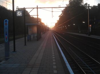
• Voor wie houdt van een boswandeling met de nodige afwisseling is de NS-wandeling Warnsborn een goede optie. Sito web...
A piedi
• Sito web: https://www.wandelzoekpagina.nl/groene_wissels/lijst.php

A piedi
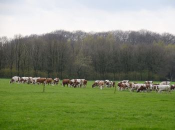
• Hoog Erf bestaat uit weilanden, akkers, loofbosjes en singels. Een mooi punt is ‘de ster’. Hier komen zes lanen van h...
A piedi
• Hoog Erf bestaat uit weilanden, akkers, loofbosjes en singels. Een mooi punt is ‘de ster’. Hier komen zes lanen van h...
A piedi
• Hoog Erf bestaat uit weilanden, akkers, loofbosjes en singels. Een mooi punt is ‘de ster’. Hier komen zes lanen van h...
A piedi
• Trail created by Geldersch Landschap en Geldersche Kasteelen. http://www.mooigelderland.nl/data/catalog/404/361745/1...
A piedi
A piedi

Marcia
• More information on GPStracks.nl : http://www.gpstracks.nl
Marcia
• More information on GPStracks.nl : http://www.gpstracks.nl
Marcia
• More information on GPStracks.nl : http://www.gpstracks.nl
Marcia
• More information on GPStracks.nl : http://www.gpstracks.nl
Marcia
• More information on GPStracks.nl : http://www.gpstracks.nl
15 percorsi visualizzati su 15
Applicazione GPS da escursionismo GRATUITA
 SityTrail
IGN / Istituti geografici
SityTrail World
Il mondo è tuo