


6,9 km | 9,3 km-effort
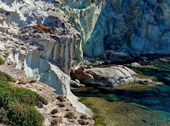
Oristano: Scopri i migliori percorsi: 8 a piedi e 9 marcia. Tutti questi percorsi, itinerari e attività outdoor sono disponibili nelle nostre app SityTrail per smartphone e tablet.
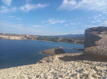
Marcia


Marcia
Marcia
Marcia
Marcia
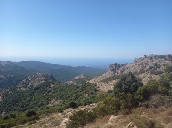
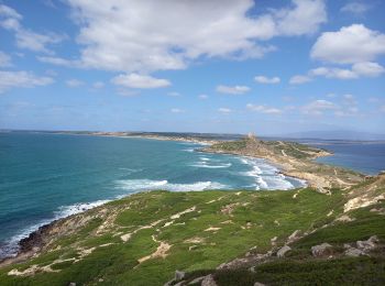
A piedi
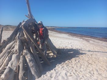
A piedi
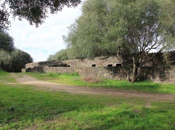
• Trail created by Ente foreste della Sardegna.
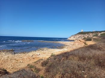
A piedi
• Trail created by Ente foreste della Sardegna.
A piedi
Marcia

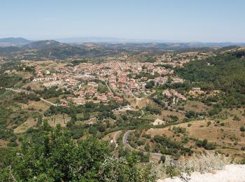
A piedi
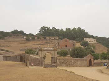
• Trail created by consorzio Parco del Monte Arci.
A piedi
• Trail created by Ente foreste della Sardegna.
A piedi
• Trail created by Ente foreste della Sardegna.

Marcia
A piedi

Marcia
17 percorsi visualizzati su 17
Applicazione GPS da escursionismo GRATUITA
 SityTrail
IGN / Istituti geografici
SityTrail World
Il mondo è tuo