


7,9 km | 11,3 km-effort
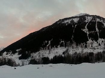
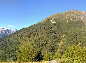
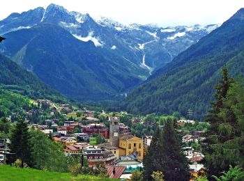
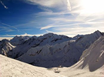
Ponte di Legno: Scopri i migliori percorsi: 9 a piedi. Tutti questi percorsi, itinerari e attività outdoor sono disponibili nelle nostre app SityTrail per smartphone e tablet.
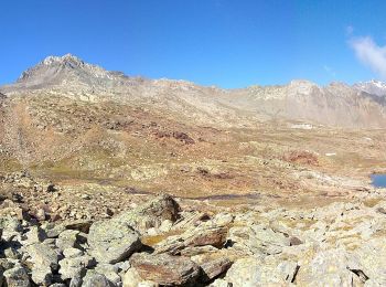
A piedi


• Symbol: horizontal light blue upper bar and white lower
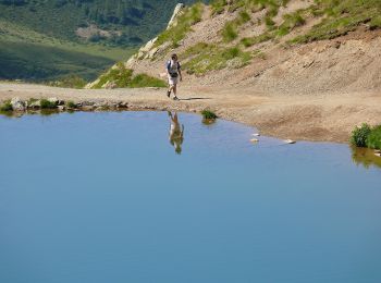
A piedi
• Symbol: horizontal light blue upper bar and white lower
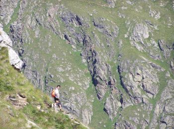
A piedi
• Symbol: horizontal light blue upper bar and white lower
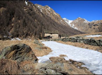
A piedi
• Trail created by Club Alpino Italiano. DA COMPLETARE Symbol: 163 on white red flag
A piedi
• Trail created by Club Alpino Italiano. DA VERIFICARE Symbol: 153 on white red flag
A piedi
• Sentiero Italia CAI 2019
A piedi
• Trail created by Club Alpino Italiano. Symbol: 158 on white red flag
A piedi
• DA COMPLETARE Symbol: 157 on white red flag

A piedi
• DA COMPLETARE Symbol: 159 on white red flag
9 percorsi visualizzati su 9
Applicazione GPS da escursionismo GRATUITA
 SityTrail
IGN / Istituti geografici
SityTrail World
Il mondo è tuo