


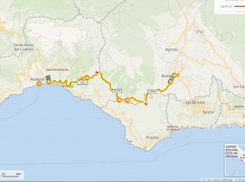
8,4 km | 16,3 km-effort
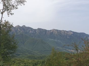
Agerola: Scopri i migliori percorsi: 7 a piedi e 7 marcia. Tutti questi percorsi, itinerari e attività outdoor sono disponibili nelle nostre app SityTrail per smartphone e tablet.
Marcia


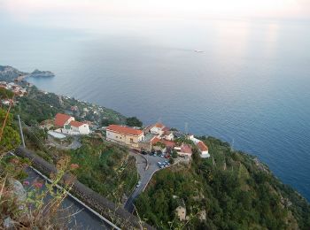
A piedi
• Trail created by Club Alpino Italiano. Symbol: white strip on top of red strip
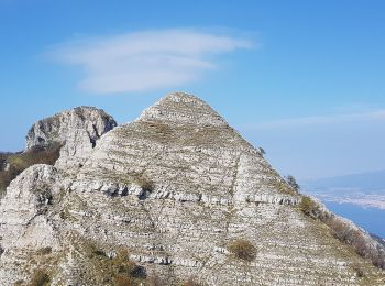
A piedi
• Trail created by Club Alpino Italiano. Symbol: white strip on top of red strip
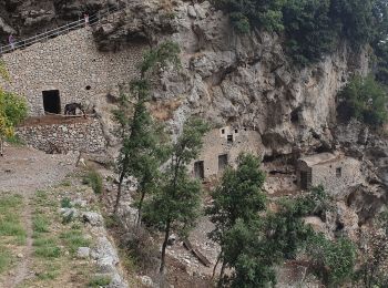
A piedi
• Trail created by Club Alpino Italiano. Symbol: white strip on top of red strip

A piedi
• Trail created by Club Alpino Italiano. Symbol: Rosso bianco rosso
A piedi
• Trail created by Club Alpino Italiano. Symbol: white strip on top of red strip
Marcia
Marcia

A piedi
• Trail created by Club Alpino Italiano. Symbol: 300 on white red flags
A piedi

Marcia
Marcia
Marcia
Marcia
14 percorsi visualizzati su 14
Applicazione GPS da escursionismo GRATUITA
 SityTrail
IGN / Istituti geografici
SityTrail World
Il mondo è tuo