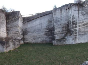
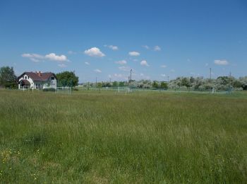
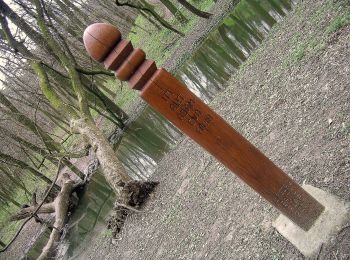
![](/images/other/stat-length.png)
Pákozd, Fejér megye, A piedi : I migliori sentieri, percorsi e passeggiate
Pákozd: Scopri i migliori percorsi: 5 a piedi. Tutti questi percorsi, itinerari e attività outdoor sono disponibili nelle nostre app SityTrail per smartphone e tablet.
I percorsi migliori (0})
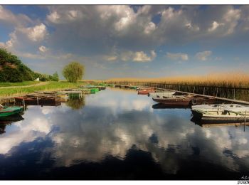
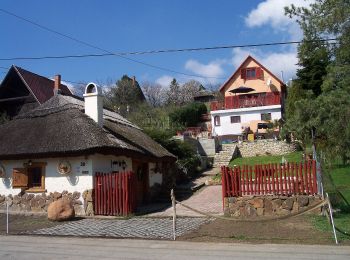
![Percorso A piedi Pákozd - P+ ( Pákózd - Dinnyés ) - Photo](https://media.geolcdn.com/t/350/260/4f4ab2bb-1ef2-4a30-a176-74cfd30c6e50.jpeg&format=jpg&maxdim=2)
![A piedi A piedi](https://static1.geolcdn.com/sitytour/trail-icons/100.png)
Km
A piedi
![](/images/other/stat-length.png)
![](https://static1.geolcdn.com/siteimages/upload/files/1508320355ic_sort_den_pos_24dp.png)
![](https://static1.geolcdn.com/siteimages/upload/files/1508320355ic_sort_den_neg_24dp.png)
![](https://static1.geolcdn.com/siteimages/upload/files/16400158638029165_repeat_loop_refresh_sync_direction_icon.png)
• Itt a koncepciót kéne kitalálni, hogy kereszt vagy sáv !!!
![Percorso A piedi Pákozd - P▲ (Sukoró, Z - Barlang-kút) - Photo](https://media.geolcdn.com/t/350/260/72ff1c97-b4d4-4e08-8c19-57c3cc2920e7.jpeg&format=jpg&maxdim=2)
![A piedi A piedi](https://static1.geolcdn.com/sitytour/trail-icons/100.png)
Km
A piedi
![](/images/other/stat-length.png)
![](https://static1.geolcdn.com/siteimages/upload/files/1508320355ic_sort_den_pos_24dp.png)
![](https://static1.geolcdn.com/siteimages/upload/files/1508320355ic_sort_den_neg_24dp.png)
![](https://static1.geolcdn.com/siteimages/upload/files/16400158638029165_repeat_loop_refresh_sync_direction_icon.png)
• Symbol: red triangle
![Percorso A piedi Pákozd - P+ (Pákozd - Ingókövek - Hurka-völgy - P) - Photo](https://media.geolcdn.com/t/350/260/0d4c1fd9-3651-45cb-b2f8-eb895bbd4a86.jpeg&format=jpg&maxdim=2)
![A piedi A piedi](https://static1.geolcdn.com/sitytour/trail-icons/100.png)
Km
A piedi
![](/images/other/stat-length.png)
![](https://static1.geolcdn.com/siteimages/upload/files/1508320355ic_sort_den_pos_24dp.png)
![](https://static1.geolcdn.com/siteimages/upload/files/1508320355ic_sort_den_neg_24dp.png)
![](https://static1.geolcdn.com/siteimages/upload/files/16400158638029165_repeat_loop_refresh_sync_direction_icon.png)
• Symbol: red_cross
![Percorso A piedi Pákozd - ZT (Madárdal tanösvény) - Photo](https://media.geolcdn.com/t/350/260/f96da26d-7bd0-457a-a7f5-cd6400124bf8.jpeg&format=jpg&maxdim=2)
![A piedi A piedi](https://static1.geolcdn.com/sitytour/trail-icons/100.png)
Km
A piedi
![](/images/other/stat-length.png)
![](https://static1.geolcdn.com/siteimages/upload/files/1508320355ic_sort_den_pos_24dp.png)
![](https://static1.geolcdn.com/siteimages/upload/files/1508320355ic_sort_den_neg_24dp.png)
![](https://static1.geolcdn.com/siteimages/upload/files/16400158638029165_repeat_loop_refresh_sync_direction_icon.png)
![Percorso A piedi Pákozd - Gránit földtani tanösvény - Photo](https://media.geolcdn.com/t/350/260/a0dbf20e-847a-41a1-9c71-b9c6f9b09649.jpeg&format=jpg&maxdim=2)
![A piedi A piedi](https://static1.geolcdn.com/sitytour/trail-icons/100.png)
Km
A piedi
![](/images/other/stat-length.png)
![](https://static1.geolcdn.com/siteimages/upload/files/1508320355ic_sort_den_pos_24dp.png)
![](https://static1.geolcdn.com/siteimages/upload/files/1508320355ic_sort_den_neg_24dp.png)
![](https://static1.geolcdn.com/siteimages/upload/files/16400158638029165_repeat_loop_refresh_sync_direction_icon.png)
5 percorsi visualizzati su 5
Applicazione GPS da escursionismo GRATUITA