


3,5 km | 4 km-effort
Buckinghamshire: Scopri i migliori percorsi: 13 a piedi e 2 marcia. Tutti questi percorsi, itinerari e attività outdoor sono disponibili nelle nostre app SityTrail per smartphone e tablet.
A piedi


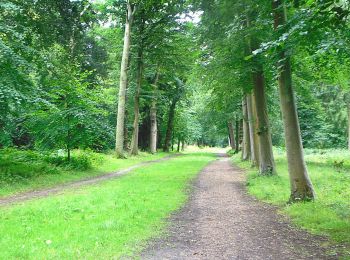
• Percorso creato da National Trust. Simbolo: green
A piedi
• Percorso creato da National Trust. Sito web: https://www.nationaltrust.org.uk/hughenden/trails/the-boundary-walk
A piedi
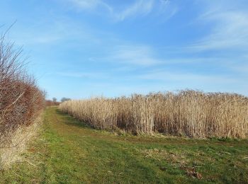
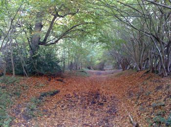
• Percorso creato da Forestry Commission.
A piedi
• The Wychert Way is a circular walk located in a delightful part of the Vale of Aylesbury. It passes very close to Had...
A piedi
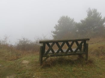
• Percorso creato da Risborough Countryside Group.
A piedi
• Percorso creato da Risborough Countryside Group.

A piedi
• Percorso creato da Risborough Countryside Group.
A piedi
• The Phoenix Trail (Princes Risborough to Thame) is a 7.5-mile route on the National Cycle Network, connecting Princes...
A piedi
• Percorso creato da Risborough Countryside Group.
A piedi
• Percorso creato da Risborough Countryside Group.
A piedi
A piedi

A piedi

Marcia
Marcia
15 percorsi visualizzati su 15
Applicazione GPS da escursionismo GRATUITA
 SityTrail
IGN / Istituti geografici
SityTrail World
Il mondo è tuo