


15 km | 25 km-effort
Piana: Scopri i migliori percorsi: 2 a piedi, 86 marcia e 1 corsa a piedi. Tutti questi percorsi, itinerari e attività outdoor sono disponibili nelle nostre app SityTrail per smartphone e tablet.
Marcia


Marcia
•

Marcia
Marcia
•
Marcia
Marcia

A piedi
Marcia
Marcia
Marcia
• Par l'itinéraire jaune
Marcia
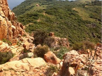
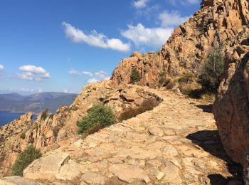
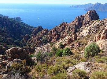
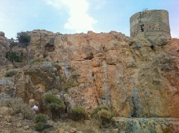
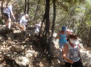
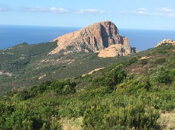
• Capo Rosso
Marcia
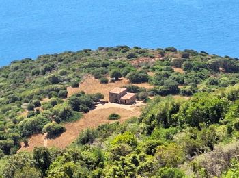
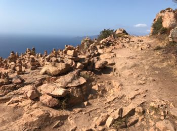
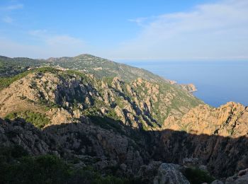
• Rando sympa qui offre de super points de vue sur les calanques de Piana. Magnifique sur l'arrivée...

Marcia
Marcia
Marcia
Marcia
Marcia

Marcia
Marcia
Marcia
20 percorsi visualizzati su 89
Applicazione GPS da escursionismo GRATUITA
 SityTrail
IGN / Istituti geografici
SityTrail World
Il mondo è tuo