


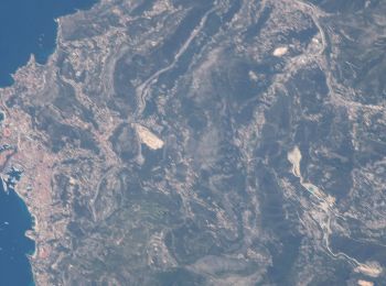
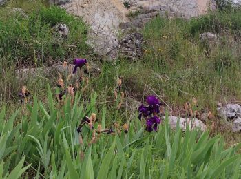
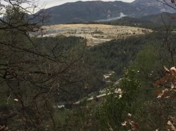
7 km | 14,7 km-effort
Peglia: Scopri i migliori percorsi: 1 a piedi e 53 marcia. Tutti questi percorsi, itinerari e attività outdoor sono disponibili nelle nostre app SityTrail per smartphone e tablet.
A piedi


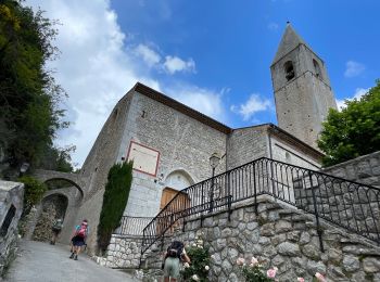
• Randonnée pédestre - Pays côtier : Au départ de Peille, parking du cimetière (650 m) Sito web: https://rand...

Marcia
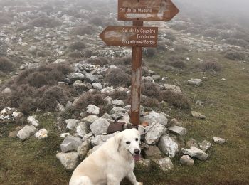
• Attention des erreurs sur le font de carte IGN
Marcia
Marcia
Marcia
Marcia

Marcia
• Difficulté moyenne belle rando
Marcia
• Difficulté moyenne belle rando
Marcia
Marcia
Marcia
Marcia
Marcia

Marcia
Marcia
Marcia
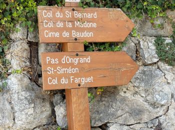
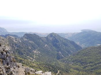
• Tour du Mont Agel
Marcia
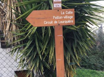
• cg06 Peillon
Marcia
Marcia
Marcia
20 percorsi visualizzati su 54
Applicazione GPS da escursionismo GRATUITA
 SityTrail
IGN / Istituti geografici
SityTrail World
Il mondo è tuo