


5,9 km | 8,9 km-effort
Gréolières: Scopri i migliori percorsi: 13 a piedi, 82 marcia, 1 camminata nordica, 3 corsa a piedi e 1 sentiero. Tutti questi percorsi, itinerari e attività outdoor sono disponibili nelle nostre app SityTrail per smartphone e tablet.
A piedi


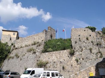
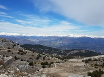
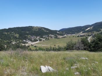
• Randonnée pédestre - Au départ de Gréolières (830 m) Sito web: https://randoxygene.departement06.fr/siagne-loup/cime...
A piedi
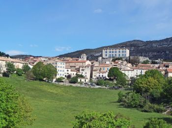
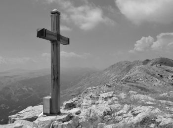
• Randonnée pédestre - Au départ de Gréolières, hameau de Saint-Pons (780 m) Sito web: https://randoxygene.departement...
A piedi
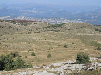
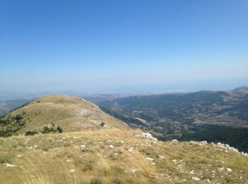
• Randonnée pédestre - Au départ de Gréolières, hameau de Saint-Pons (780 m) Sito web: https://randoxygene.departement...
Marcia
Marcia
Marcia
Marcia
Marcia
Marcia
Marcia
Marcia
A piedi
Marcia
Marcia
Marcia

Marcia
Corsa a piedi
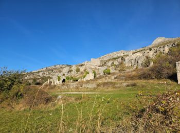
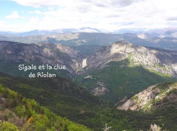
• Très beau parcours sous 30°.Des paysages sublimes à perte de vue. En manque d'eau la fin fut très difficile, marche o...
Marcia
Marcia
Marcia
20 percorsi visualizzati su 100
Applicazione GPS da escursionismo GRATUITA
 SityTrail
IGN / Istituti geografici
SityTrail World
Il mondo è tuo