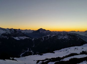
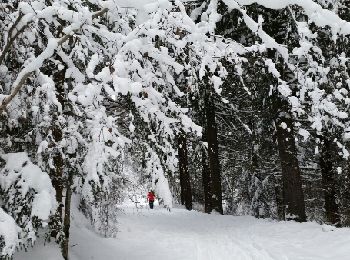
![](/images/other/stat-length.png)
- Percorsi
- A piedi
- France
- Auvergne-Rhône-Alpes
- Alta Savoia
- Les Houches
Les Houches, Alta Savoia, A piedi : I migliori sentieri, percorsi e passeggiate
Les Houches: Scopri i migliori percorsi: 3 a piedi e 149 marcia. Tutti questi percorsi, itinerari e attività outdoor sono disponibili nelle nostre app SityTrail per smartphone e tablet.
I percorsi migliori (0})
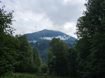
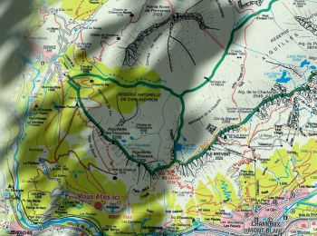
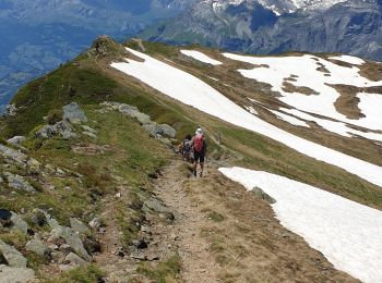
![Percorso Marcia Les Houches - J4 - Les Chavants - Charousse - Vaudagne - Photo](https://media.geolcdn.com/t/350/260/d3179e8d-4a15-42b5-a258-50d7450d9242.jpg&format=jpg&maxdim=2)
![Marcia Marcia](https://static1.geolcdn.com/sitytour/trail-icons/101.png)
Km
Marcia
![](/images/other/stat-length.png)
![](https://static1.geolcdn.com/siteimages/upload/files/1508320355ic_sort_den_pos_24dp.png)
![](https://static1.geolcdn.com/siteimages/upload/files/1508320355ic_sort_den_neg_24dp.png)
![](https://static1.geolcdn.com/siteimages/upload/files/16400158638029165_repeat_loop_refresh_sync_direction_icon.png)
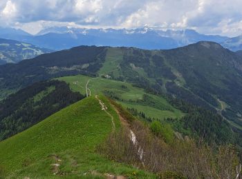
![Percorso Marcia Les Houches - 2024-05-29_17h11m02_christ-roi - Photo](https://media.geolcdn.com/t/350/260/5a9858e2-48aa-4c94-bd12-4c66dc77167c.jpg&format=jpg&maxdim=2)
![Marcia Marcia](https://static1.geolcdn.com/sitytour/trail-icons/101.png)
Km
Marcia
![](/images/other/stat-length.png)
![](https://static1.geolcdn.com/siteimages/upload/files/1508320355ic_sort_den_pos_24dp.png)
![](https://static1.geolcdn.com/siteimages/upload/files/1508320355ic_sort_den_neg_24dp.png)
![](https://static1.geolcdn.com/siteimages/upload/files/16400158638029165_repeat_loop_refresh_sync_direction_icon.png)
![Percorso Marcia Les Houches - Chalets de Charlousse - Photo](https://media.geolcdn.com/t/350/260/ext.jpg?maxdim=2&url=https%3A%2F%2Fstatic1.geolcdn.com%2Fsiteimages%2Fupload%2Ffiles%2F1553511878bg_sport_marche.png)
![Marcia Marcia](https://static1.geolcdn.com/sitytour/trail-icons/101.png)
Km
Marcia
![](/images/other/stat-length.png)
![](https://static1.geolcdn.com/siteimages/upload/files/1508320355ic_sort_den_pos_24dp.png)
![](https://static1.geolcdn.com/siteimages/upload/files/1508320355ic_sort_den_neg_24dp.png)
![](https://static1.geolcdn.com/siteimages/upload/files/16400158638029165_repeat_loop_refresh_sync_direction_icon.png)
![Percorso Marcia Les Houches - J21 - R20 - La Fontaine - La Tour St Michel - Photo](https://media.geolcdn.com/t/350/260/41a493fe-e7d9-467b-8687-234bfad2b97b.jpg&format=jpg&maxdim=2)
![Marcia Marcia](https://static1.geolcdn.com/sitytour/trail-icons/101.png)
Km
Marcia
![](/images/other/stat-length.png)
![](https://static1.geolcdn.com/siteimages/upload/files/1508320355ic_sort_den_pos_24dp.png)
![](https://static1.geolcdn.com/siteimages/upload/files/1508320355ic_sort_den_neg_24dp.png)
![](https://static1.geolcdn.com/siteimages/upload/files/16400158638029165_repeat_loop_refresh_sync_direction_icon.png)
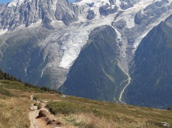
![Percorso Marcia Les Houches - J7 - Les Houches > Chamonix par le Chemin des Villages - Photo](https://media.geolcdn.com/t/350/260/8bb7d9dc-96a2-4ef0-a910-22de31540a90.jpg&format=jpg&maxdim=2)
![Marcia Marcia](https://static1.geolcdn.com/sitytour/trail-icons/101.png)
Km
Marcia
![](/images/other/stat-length.png)
![](https://static1.geolcdn.com/siteimages/upload/files/1508320355ic_sort_den_pos_24dp.png)
![](https://static1.geolcdn.com/siteimages/upload/files/1508320355ic_sort_den_neg_24dp.png)
![](https://static1.geolcdn.com/siteimages/upload/files/16400158638029165_repeat_loop_refresh_sync_direction_icon.png)
![Percorso Marcia Les Houches - J6 - Servoz - La Cote - La Gouille du Bë - Photo](https://media.geolcdn.com/t/350/260/244b80ca-3639-4e66-9d0c-600b47e9ec4b.jpg&format=jpg&maxdim=2)
![Marcia Marcia](https://static1.geolcdn.com/sitytour/trail-icons/101.png)
Km
Marcia
![](/images/other/stat-length.png)
![](https://static1.geolcdn.com/siteimages/upload/files/1508320355ic_sort_den_pos_24dp.png)
![](https://static1.geolcdn.com/siteimages/upload/files/1508320355ic_sort_den_neg_24dp.png)
![](https://static1.geolcdn.com/siteimages/upload/files/16400158638029165_repeat_loop_refresh_sync_direction_icon.png)
![Percorso Marcia Les Houches - J3 - Les Chavants - Chamonix Centre - Photo](https://media.geolcdn.com/t/350/260/ed600382-e12e-4b90-a2e7-96444e854106.jpg&format=jpg&maxdim=2)
![Marcia Marcia](https://static1.geolcdn.com/sitytour/trail-icons/101.png)
Km
Marcia
![](/images/other/stat-length.png)
![](https://static1.geolcdn.com/siteimages/upload/files/1508320355ic_sort_den_pos_24dp.png)
![](https://static1.geolcdn.com/siteimages/upload/files/1508320355ic_sort_den_neg_24dp.png)
![](https://static1.geolcdn.com/siteimages/upload/files/16400158638029165_repeat_loop_refresh_sync_direction_icon.png)
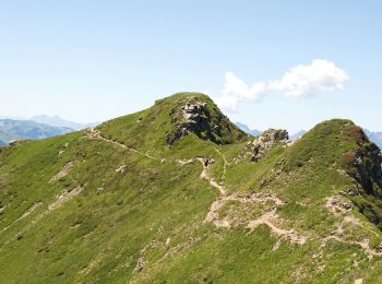
![Percorso Marcia Les Houches - boucle aiguillette des houches ,refuge bel-lachat - Photo](https://media.geolcdn.com/t/350/260/b7c2b28c-3d68-49a0-8f3d-63ba0e89e121.jpg&format=jpg&maxdim=2)
![Marcia Marcia](https://static1.geolcdn.com/sitytour/trail-icons/101.png)
Km
Marcia
![](/images/other/stat-length.png)
![](https://static1.geolcdn.com/siteimages/upload/files/1508320355ic_sort_den_pos_24dp.png)
![](https://static1.geolcdn.com/siteimages/upload/files/1508320355ic_sort_den_neg_24dp.png)
![](https://static1.geolcdn.com/siteimages/upload/files/16400158638029165_repeat_loop_refresh_sync_direction_icon.png)
![Percorso Marcia Les Houches - échec refuge de bellachat - Photo](https://media.geolcdn.com/t/350/260/74569979-76db-4c97-8ffd-6fa7080e5240.jpg&format=jpg&maxdim=2)
![Marcia Marcia](https://static1.geolcdn.com/sitytour/trail-icons/101.png)
Km
Marcia
![](/images/other/stat-length.png)
![](https://static1.geolcdn.com/siteimages/upload/files/1508320355ic_sort_den_pos_24dp.png)
![](https://static1.geolcdn.com/siteimages/upload/files/1508320355ic_sort_den_neg_24dp.png)
![](https://static1.geolcdn.com/siteimages/upload/files/16400158638029165_repeat_loop_refresh_sync_direction_icon.png)
![Percorso Marcia Les Houches - Chamonix : l'aiguillette des Houches - Photo](https://media.geolcdn.com/t/350/260/b345a7a4-fa62-48ef-8bda-100dcd7bf9f7.jpg&format=jpg&maxdim=2)
![Marcia Marcia](https://static1.geolcdn.com/sitytour/trail-icons/101.png)
Km
Marcia
![](/images/other/stat-length.png)
![](https://static1.geolcdn.com/siteimages/upload/files/1508320355ic_sort_den_pos_24dp.png)
![](https://static1.geolcdn.com/siteimages/upload/files/1508320355ic_sort_den_neg_24dp.png)
![](https://static1.geolcdn.com/siteimages/upload/files/16400158638029165_repeat_loop_refresh_sync_direction_icon.png)
![Percorso Marcia Les Houches - Maison Neuve (Les Houches) boucle par Bellevue et Mont Lachat - Photo](https://media.geolcdn.com/t/350/260/f88ec683-d378-4af5-834b-c5c359199d6b.jpg&format=jpg&maxdim=2)
![Marcia Marcia](https://static1.geolcdn.com/sitytour/trail-icons/101.png)
Km
Marcia
![](/images/other/stat-length.png)
![](https://static1.geolcdn.com/siteimages/upload/files/1508320355ic_sort_den_pos_24dp.png)
![](https://static1.geolcdn.com/siteimages/upload/files/1508320355ic_sort_den_neg_24dp.png)
![](https://static1.geolcdn.com/siteimages/upload/files/16400158638029165_repeat_loop_refresh_sync_direction_icon.png)
![Percorso Marcia Les Houches - aiguillette d'houches - Photo](https://media.geolcdn.com/t/350/260/2913604d-9ec1-4c97-81fa-512d06cac379.jpg&format=jpg&maxdim=2)
![Marcia Marcia](https://static1.geolcdn.com/sitytour/trail-icons/101.png)
Km
Marcia
![](/images/other/stat-length.png)
![](https://static1.geolcdn.com/siteimages/upload/files/1508320355ic_sort_den_pos_24dp.png)
![](https://static1.geolcdn.com/siteimages/upload/files/1508320355ic_sort_den_neg_24dp.png)
![](https://static1.geolcdn.com/siteimages/upload/files/16400158638029165_repeat_loop_refresh_sync_direction_icon.png)
![Percorso Marcia Les Houches - Le Merlet,Bellachat,aigulkette des Houches retour par chalets Chailloux - Photo](https://media.geolcdn.com/t/350/260/2d7c845a-2ccf-407b-8e43-9bfe0013a2c3.jpg&format=jpg&maxdim=2)
![Marcia Marcia](https://static1.geolcdn.com/sitytour/trail-icons/101.png)
Km
Marcia
![](/images/other/stat-length.png)
![](https://static1.geolcdn.com/siteimages/upload/files/1508320355ic_sort_den_pos_24dp.png)
![](https://static1.geolcdn.com/siteimages/upload/files/1508320355ic_sort_den_neg_24dp.png)
![](https://static1.geolcdn.com/siteimages/upload/files/16400158638029165_repeat_loop_refresh_sync_direction_icon.png)
![Percorso Marcia Les Houches - Aiguillette des Houches - Photo](https://media.geolcdn.com/t/350/260/eaeebee4-9927-494f-a874-f1cf68a71944.jpg&format=jpg&maxdim=2)
![Marcia Marcia](https://static1.geolcdn.com/sitytour/trail-icons/101.png)
Km
Marcia
![](/images/other/stat-length.png)
![](https://static1.geolcdn.com/siteimages/upload/files/1508320355ic_sort_den_pos_24dp.png)
![](https://static1.geolcdn.com/siteimages/upload/files/1508320355ic_sort_den_neg_24dp.png)
![](https://static1.geolcdn.com/siteimages/upload/files/16400158638029165_repeat_loop_refresh_sync_direction_icon.png)
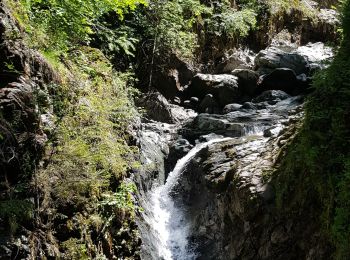
![Percorso Marcia Les Houches - Les Gorges de la Diozaz - Photo](https://media.geolcdn.com/t/350/260/8e77095b-fefa-4341-9cfd-3a8ac5794dd5.jpg&format=jpg&maxdim=2)
![Marcia Marcia](https://static1.geolcdn.com/sitytour/trail-icons/101.png)
Km
Marcia
![](/images/other/stat-length.png)
![](https://static1.geolcdn.com/siteimages/upload/files/1508320355ic_sort_den_pos_24dp.png)
![](https://static1.geolcdn.com/siteimages/upload/files/1508320355ic_sort_den_neg_24dp.png)
![](https://static1.geolcdn.com/siteimages/upload/files/16400158638029165_repeat_loop_refresh_sync_direction_icon.png)
![Percorso Marcia Les Houches - CHAMONIX (Les Houches) - Photo](https://media.geolcdn.com/t/350/260/ext.jpg?maxdim=2&url=https%3A%2F%2Fservices.sitytrail.com%2FGeolivesWS%2FDownloadMedia.ashx%3FTrailID%3D678659%26Media%3Dfix__20161231153649.jpg)
![Marcia Marcia](https://static1.geolcdn.com/sitytour/trail-icons/101.png)
Km
Marcia
![](/images/other/stat-length.png)
![](https://static1.geolcdn.com/siteimages/upload/files/1508320355ic_sort_den_pos_24dp.png)
![](https://static1.geolcdn.com/siteimages/upload/files/1508320355ic_sort_den_neg_24dp.png)
![](https://static1.geolcdn.com/siteimages/upload/files/16400158638029165_repeat_loop_refresh_sync_direction_icon.png)
![Percorso Marcia Les Houches - CHAMONIX (Les Houches) - Photo](https://media.geolcdn.com/t/350/260/ext.jpg?maxdim=2&url=https%3A%2F%2Fservices.sitytrail.com%2FGeolivesWS%2FDownloadMedia.ashx%3FTrailID%3D678334%26Media%3Dfix__20161230171056.jpg)
![Marcia Marcia](https://static1.geolcdn.com/sitytour/trail-icons/101.png)
Km
Marcia
![](/images/other/stat-length.png)
![](https://static1.geolcdn.com/siteimages/upload/files/1508320355ic_sort_den_pos_24dp.png)
![](https://static1.geolcdn.com/siteimages/upload/files/1508320355ic_sort_den_neg_24dp.png)
![](https://static1.geolcdn.com/siteimages/upload/files/16400158638029165_repeat_loop_refresh_sync_direction_icon.png)
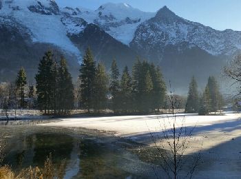
![Percorso Marcia Les Houches - CHAMONIX (Arve) - Photo](https://media.geolcdn.com/t/350/260/ext.jpg?maxdim=2&url=https%3A%2F%2Fservices.sitytrail.com%2FGeolivesWS%2FDownloadMedia.ashx%3FTrailID%3D383729%26Media%3Dfix__20150206151805.jpg)
![Marcia Marcia](https://static1.geolcdn.com/sitytour/trail-icons/101.png)
Km
Marcia
![](/images/other/stat-length.png)
![](https://static1.geolcdn.com/siteimages/upload/files/1508320355ic_sort_den_pos_24dp.png)
![](https://static1.geolcdn.com/siteimages/upload/files/1508320355ic_sort_den_neg_24dp.png)
![](https://static1.geolcdn.com/siteimages/upload/files/16400158638029165_repeat_loop_refresh_sync_direction_icon.png)
20 percorsi visualizzati su 152
Applicazione GPS da escursionismo GRATUITA