


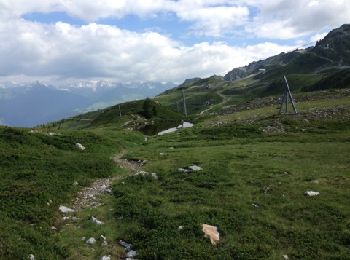
16,7 km | 28 km-effort
Bourg-Saint-Maurice: Scopri i migliori percorsi: 3 a piedi, 160 marcia, 4 camminata nordica, 3 corsa a piedi e 2 sentiero. Tutti questi percorsi, itinerari e attività outdoor sono disponibili nelle nostre app SityTrail per smartphone e tablet.
Marcia


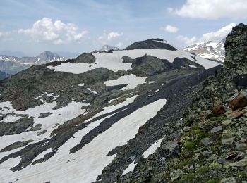
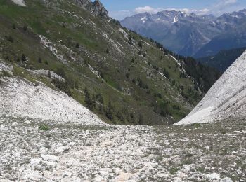
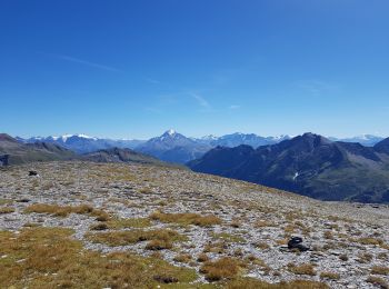
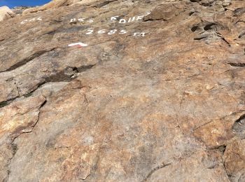
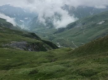
• Beaufortain
Marcia
Marcia
Marcia
Marcia

Marcia
Marcia
Marcia
Marcia
Marcia
Marcia
Marcia
Marcia
Marcia
Marcia
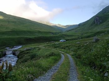
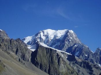
• départ du refuge Robert Blanc, col de la Seigne, retour à la ville des glaciers

Marcia
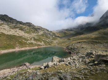
• Itinéraire principalement en aller retour avec quelques variantes possibles autour des lacs, départ du parking sous l...

Marcia
• itinéraire principalement en aller retour avec de petites variantes possibles autour des lacs. Départ du parking sous...
Marcia
Marcia
• La ville des Glaciers -> Courmayeur
Marcia
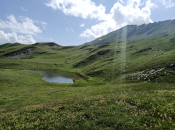
• Une montée un peu rude (500m+), mais pour le plaisir de traverser ce joli espace botanique. Le lac est plutôt un peti...
20 percorsi visualizzati su 172
Applicazione GPS da escursionismo GRATUITA
 SityTrail
IGN / Istituti geografici
SityTrail World
Il mondo è tuo