


13,6 km | 25 km-effort
La Côte-d'Aime: Scopri i migliori percorsi: 37 marcia, 2 corsa a piedi e 1 sentiero. Tutti questi percorsi, itinerari e attività outdoor sono disponibili nelle nostre app SityTrail per smartphone e tablet.
Marcia


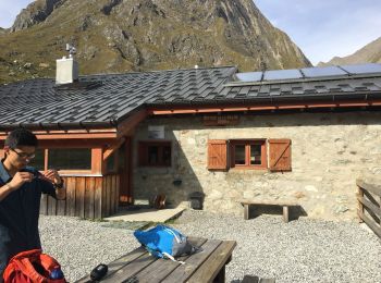
• Beaufortain
Marcia
Marcia
Marcia
Marcia
Marcia
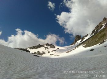
• File with points/tracks from Locus Map/3.31.3
Marcia
Marcia
• File with points/tracks from Locus Map/3.31.3
Marcia
• File with points/tracks from Locus Map/3.31.3
Marcia
• File with points/tracks from Locus Map/3.31.3
Marcia

Marcia

Marcia
Marcia
Marcia
Marcia
• File with points/tracks from Locus Map/3.31.3
Marcia
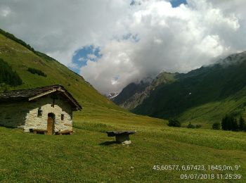
• Une promenade facile balisée en jaune à travers les vignes au-dessus d'Aime et jusqu'à La Sciaz. Il faut prendre la r...
Marcia
Marcia
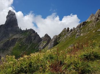
• Superbe variante pour rejoindre le vallon du lac de Roselend en passant par le col du Tutu et donc au pied de la Pier...
Marcia
20 percorsi visualizzati su 40
Applicazione GPS da escursionismo GRATUITA
 SityTrail
IGN / Istituti geografici
SityTrail World
Il mondo è tuo