


8,8 km | 10,7 km-effort
A Coruña: Scopri i migliori percorsi: 21 a piedi, 140 marcia, 6 camminata nordica e 3 corsa a piedi. Tutti questi percorsi, itinerari e attività outdoor sono disponibili nelle nostre app SityTrail per smartphone e tablet.
A piedi


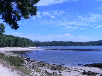
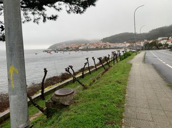
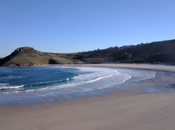
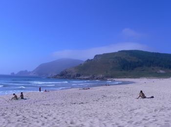
• O Camiño dos Faros es una ruta de senderismo de 200 kilómetros que une Malpica con Finisterre por el borde del mar en...

A piedi
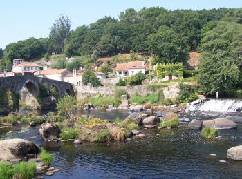
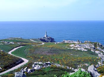
• O Camiño dos Faros es una ruta de senderismo de 200 kilómetros que une Malpica con Finisterre por el borde del mar en...
A piedi
• Trail created by Concello de Negreira.
A piedi
• O Camiño dos Faros es una ruta de senderismo de 200 kilómetros que une Malpica con Finisterre por el borde del mar en...
A piedi
• Trail created by concello de Ames.
Marcia
Marcia
Marcia
Marcia
Marcia
Marcia
A piedi
A piedi
• Symbol: Gelber und Weißer Balken
A piedi
A piedi
A piedi
A piedi
A piedi
A piedi
A piedi
• Trail created by Concello de Negreira. Symbol: white hiker over green ground
20 percorsi visualizzati su 170
Applicazione GPS da escursionismo GRATUITA
 SityTrail
IGN / Istituti geografici
SityTrail World
Il mondo è tuo