


5,5 km | 6 km-effort
Landkreis Osnabrück: Scopri i migliori percorsi: 29 a piedi e 1 marcia. Tutti questi percorsi, itinerari e attività outdoor sono disponibili nelle nostre app SityTrail per smartphone e tablet.
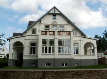
A piedi


• Trail created by Heimat- und Wanderverein Bohmte e.V..
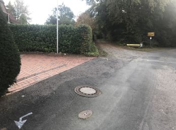
A piedi
• Trail created by Wiehengebirgsverband Weser-Ems e.V..
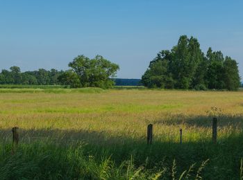
A piedi
• Trail created by Heimat- und Wanderverein Hollage e. V..
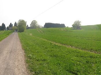
A piedi
• Trail created by Heimat- und Verschönerungsverein Buer. Symbol: weißes L2
A piedi
• Symbol: weisse 2 auf schwarzen Grund und grünen Rahmen
A piedi
• Symbol: weisse 7 auf schwarzen Grund und grünen Rahmen
A piedi
• Symbol: weisse 1 auf schwarzen Grund und grünen Rahmen
A piedi
• Symbol: weisse 5 auf schwarzen Grund mit grünen Rahmen
A piedi
• osmc:symbol: Kein Hintergrund Symbol: weiße 3, kein Vorder u Hintergrund
A piedi
A piedi
A piedi
A piedi
• Trail created by Heimat- und Wanderverein Hollage e. V..
A piedi
• Trail created by Heimat- und Wanderverein Hollage e. V..
A piedi
• Trail created by Heimat- und Wanderverein Hollage e. V..
A piedi
A piedi

A piedi
• Trail created by hnpssk.
A piedi
• Trail created by c.
A piedi
• Trail created by hnpssk.
20 percorsi visualizzati su 30
Applicazione GPS da escursionismo GRATUITA
 SityTrail
IGN / Istituti geografici
SityTrail World
Il mondo è tuo