


7,3 km | 8,1 km-effort
Bispingen: Scopri i migliori percorsi: 29 a piedi. Tutti questi percorsi, itinerari e attività outdoor sono disponibili nelle nostre app SityTrail per smartphone e tablet.
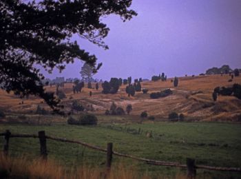
A piedi


• Trail created by Bispingen Touristik e.V..
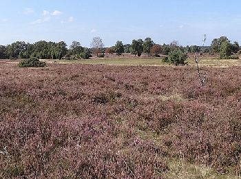
A piedi
• Trail created by Bispingen Touristik e.V..
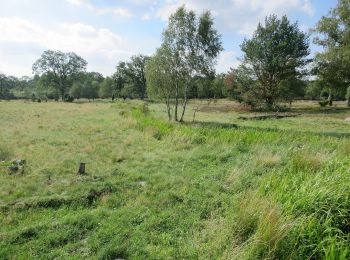
A piedi
• Trail created by Bispingen Touristik e.V..
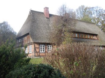
A piedi
• Trail created by Bispingen Touristik e.V..
A piedi
• Trail created by Bispingen Touristik e.V.. Symbol: brown V2 in brown solid circle
A piedi
• Trail created by Bispingen Touristik e.V.. Symbol: orange W2 in orange dashed circle
A piedi
• Trail created by Bispingen Touristik e.V.. Symbol: orange W1 in orange solid circle
A piedi
• Trail created by Bispingen Touristik e.V.. Symbol: brown V1 in brown solid circle
A piedi
• Trail created by Bispingen Touristik e.V.. Symbol: red B1 in red solid circle
A piedi
• Trail created by Bispingen Touristik e.V.. Symbol: red B2 in red dashed circle
A piedi
• Trail created by Bispingen Touristik e.V.. Symbol: red N3 in red dotted circle
A piedi
• Trail created by Bispingen Touristik e.V.. Symbol: red N2 in red dashed circle
A piedi
• Trail created by Bispingen Touristik e.V.. Symbol: red N1 in red solid circle
A piedi
• Trail created by Bispingen Touristik e.V.. Symbol: blue O3 in blue dotted circle
A piedi
• Trail created by Bispingen Touristik e.V.. Symbol: blue O2 in blue dashed circle
A piedi
• Trail created by Bispingen Touristik e.V.. Symbol: blue O1 in blue solid circle
A piedi
• Trail created by Verein Naturparkregion Lüneburger Heide e.V.L. Sito web: https://naturpark-lueneburger-heide.de/
A piedi
• Trail created by Verein Naturparkregion Lüneburger Heide e.V.L. Sito web: https://naturpark-lueneburger-heide.de/
A piedi
• Trail created by Verein Naturparkregion Lüneburger Heide e.V.. Sito web: https://naturpark-lueneburger-heide.de/
A piedi
• Trail created by Verein Naturparkregion Lüneburger Heide e.V.. Sito web: https://naturpark-lueneburger-heide.de/
20 percorsi visualizzati su 29
Applicazione GPS da escursionismo GRATUITA
 SityTrail
IGN / Istituti geografici
SityTrail World
Il mondo è tuo