


9,3 km | 10,3 km-effort
Eschede: Scopri i migliori percorsi: 8 a piedi. Tutti questi percorsi, itinerari e attività outdoor sono disponibili nelle nostre app SityTrail per smartphone e tablet.
A piedi


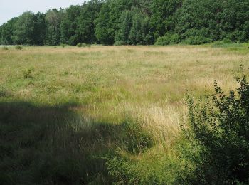
• Die beiden Wanderungen des W14 „Beim Hecht im Karpfenteich“ führen durch die ausgedehnte Wasserlandschaft der Aschau-...
A piedi
• Die beiden Wanderungen des W14 „Beim Hecht im Karpfenteich“ führen durch die ausgedehnte Wasserlandschaft der Aschaut...
A piedi
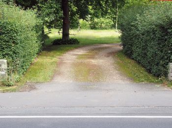
• Die Wanderung des Rundwanderweges W19 "Im Land der Esche" führt in den südöstlichen Teil des Naturparks Südheide, ent...
A piedi
• Die Wanderung des Rundwanderweges W19 "Im Land der Esche" führt in den südöstlichen Teil des Naturparks Südheide, ent...
A piedi
• Die Wanderung des Rundwanderweges W19 "Im Land der Esche" führt in den südöstlichen Teil des Naturparks Südheide, ent...
A piedi
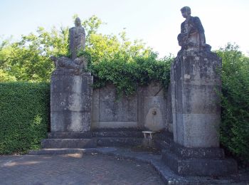
• Die Wanderungen des W12 "Dem Förster über die Schulter geschaut" führen durch ausgedehnte Wälder der Südheide, in den...

A piedi
• Die Wanderungen des W12 "Dem Förster über die Schulter geschaut" führen durch ausgedehnte Wälder der Südheide, in den...
A piedi
• Die Wanderungen des W12 "Dem Förster über die Schulter geschaut" führen durch ausgedehnte Wälder der Südheide, in den...
8 percorsi visualizzati su 8
Applicazione GPS da escursionismo GRATUITA
 SityTrail
IGN / Istituti geografici
SityTrail World
Il mondo è tuo