


11,7 km | 15,8 km-effort
Region Hannover: Scopri i migliori percorsi: 19 a piedi. Tutti questi percorsi, itinerari e attività outdoor sono disponibili nelle nostre app SityTrail per smartphone e tablet.
A piedi


• Trail created by Tourismus-Service Wennigsen.
A piedi
• Trail created by Tourismus-Service Wennigsen.
A piedi
• Sito web: http://www.dollbergen.de/dorferlebnispfad/
A piedi
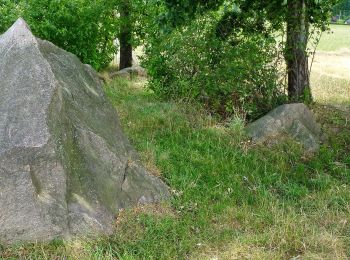
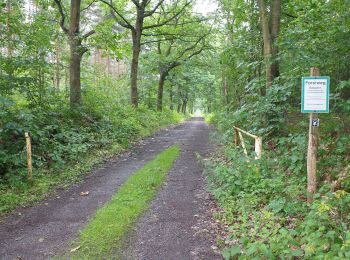
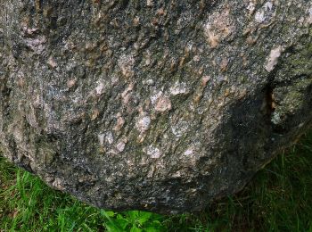
• Der Geo-Erlebnispfad "Bewegte Steine" vermittelt Naturerlebnis, spannend verpackte wissenschaftlichen Inhalte und kün...
A piedi
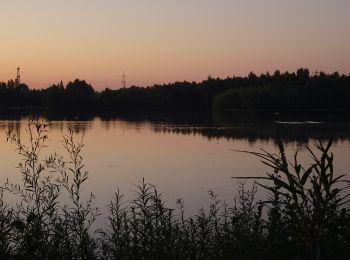
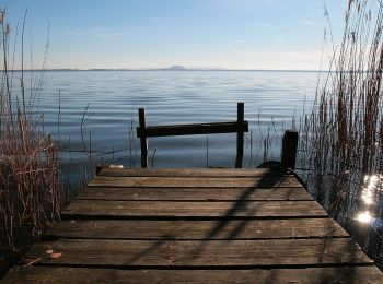
• Beim Wandern lässt sich die gesamte Vielfalt der Urlaubsregion Steinhuder Meer entdecken. Neben dem beliebten Rundweg...

A piedi
• Beim Wandern lässt sich die gesamte Vielfalt der Urlaubsregion Steinhuder Meer entdecken. Neben dem beliebten Rundweg...
A piedi
• Missing way across camping site
A piedi
A piedi
A piedi
A piedi
A piedi
A piedi
A piedi
• way across Bannsee camping site is unknown
A piedi
A piedi

A piedi
• Trail created by Stadt Hemmingen. Sito web: https://www.stadthemmingen.de/medien/bilder/landwirtschaftspfad_uebers...
A piedi
A piedi
19 percorsi visualizzati su 19
Applicazione GPS da escursionismo GRATUITA
 SityTrail
IGN / Istituti geografici
SityTrail World
Il mondo è tuo