


4,3 km | 5,1 km-effort
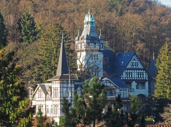
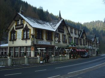
Harz (LK Goslar): Scopri i migliori percorsi: 16 a piedi e 1 sentiero. Tutti questi percorsi, itinerari e attività outdoor sono disponibili nelle nostre app SityTrail per smartphone e tablet.
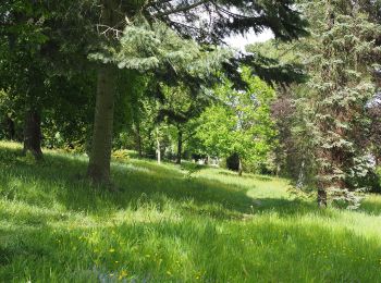
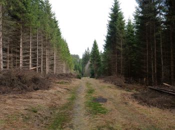
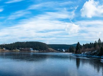
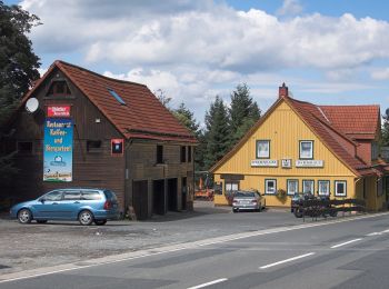
A piedi


• Symbol: roter Kreis mit Dreieck Nr. 1
A piedi
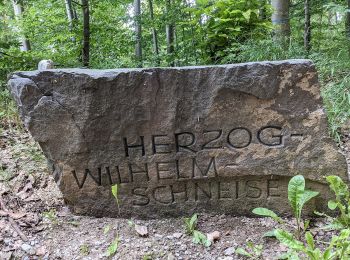
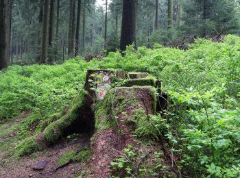
• Trail created by Harzklub.
A piedi
• Trail created by Harzklub.
A piedi
• Trail created by Harzklub.
A piedi
• Trail created by Harzklub.
A piedi
• Ergründen Sie die mythischen Verbindungen zwischen Mensch und Natur Sito web: https://www.nationalpark-harz.de/de/n...
A piedi
• Symbol: Blaue stilisierte Welle auf weißem Grund
A piedi
• Trail created by Harzklub. Symbol: Wasserrad auf blauem Grund
A piedi
A piedi
A piedi
• Symbol: Wasserrad auf bleuem Grund
A piedi
• Trail created by Harzklub e.V.. Symbol: grüner Punkt auf weißem Dreieck
A piedi
• Symbol: roter Punkt auf weißem Dreieck

A piedi
• Trail created by Harzklub. Symbol: Wasserrad auf blauem Grund
A piedi
A piedi

Sentiero
17 percorsi visualizzati su 17
Applicazione GPS da escursionismo GRATUITA
 SityTrail
IGN / Istituti geografici
SityTrail World
Il mondo è tuo