


19,7 km | 25 km-effort
Volkmarsen: Scopri i migliori percorsi: 12 a piedi. Tutti questi percorsi, itinerari e attività outdoor sono disponibili nelle nostre app SityTrail per smartphone e tablet.
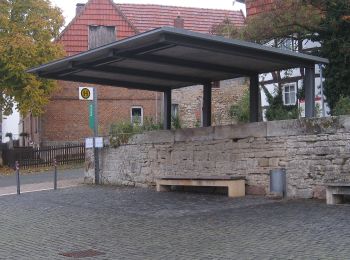
A piedi


• Trail created by Wanderverband Hessen. Sito web: http://www.wanderverband-hessen.de/hessenwege.htm
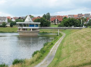
A piedi
• Symbol: gelb NB4 auf blau
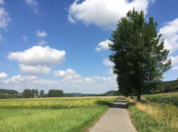
A piedi
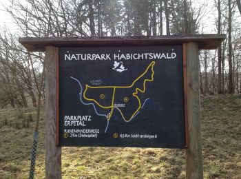
A piedi
A piedi

A piedi
A piedi
A piedi
A piedi
A piedi
A piedi
A piedi
12 percorsi visualizzati su 12
Applicazione GPS da escursionismo GRATUITA
 SityTrail
IGN / Istituti geografici
SityTrail World
Il mondo è tuo