


12,3 km | 15,6 km-effort
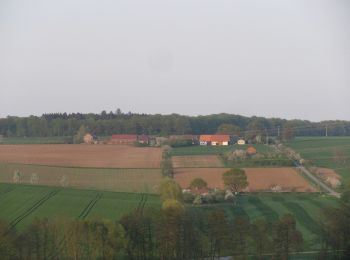
Hofgeismar: Scopri i migliori percorsi: 21 a piedi. Tutti questi percorsi, itinerari e attività outdoor sono disponibili nelle nostre app SityTrail per smartphone e tablet.
A piedi


• Trail created by Wanderverband Hessen. Sito web: http://www.wanderverband-hessen.de/hessenwege.htm
A piedi
• Trail created by Wanderverband Hessen. Sito web: http://www.wanderverband-hessen.de/hessenwege.htm
A piedi
• Trail created by Seniorensportgruppe TSV Hombressen e.V..
A piedi
• Trail created by Seniorensportgruppe TSV Hombressen e.V..
A piedi
• Trail created by Seniorensportgruppe TSV Hombressen e.V..
A piedi
• Trail created by Seniorensportgruppe TSV Hombressen e.V..
A piedi
• Die Eco Pfade im Landkreis Kassel sollen dazu anregen, sich mit der Geschichte der Region zu beschäftigen, Zeugen der...
A piedi
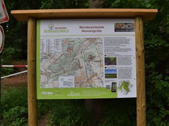
• Trail created by Naturpark Reinhardswald. Sito web: https://www.tourinfra.com/geocFramework_np_reinhardswald_leafl...
A piedi
• Trail created by Naturpark Reinhardswald. Sito web: https://www.tourinfra.com/geocFramework_np_reinhardswald_leafl...
A piedi
• Trail created by Hessisch-Waldeckischer Gebirgs- und Heimatverein(HWGHV).
A piedi
• Trail created by Hessisch-Waldeckischer Gebirgs- und Heimatverein(HWGHV).
A piedi
• Trail created by Naturpark Reinhardswald. Sito web: https://www.tourinfra.com/geocFramework_np_reinhardswald_leafl...
A piedi
• Trail created by Naturpark Reinhardswald. Sito web: https://www.tourinfra.com/geocFramework_np_reinhardswald_leafl...
A piedi
• Trail created by Naturpark Reinhardswald. Sito web: https://www.tourinfra.com/geocFramework_np_reinhardswald_leafl...
A piedi
• Trail created by Naturpark Reinhardswald. Sito web: https://www.tourinfra.com/geocFramework_np_reinhardswald_leafl...
A piedi
A piedi
A piedi

A piedi
• Trail created by Naturpark Reinhardswald. Sito web: https://www.tourinfra.com/geocFramework_np_reinhardswald_leafl...
A piedi
20 percorsi visualizzati su 21
Applicazione GPS da escursionismo GRATUITA
 SityTrail
IGN / Istituti geografici
SityTrail World
Il mondo è tuo