


12,7 km | 16,1 km-effort
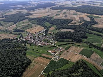
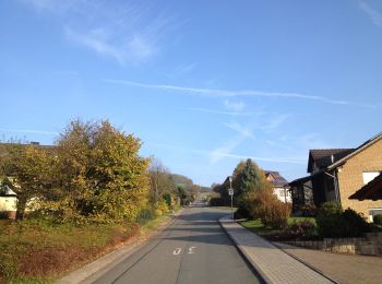
Liebenau: Scopri i migliori percorsi: 24 a piedi. Tutti questi percorsi, itinerari e attività outdoor sono disponibili nelle nostre app SityTrail per smartphone e tablet.
A piedi


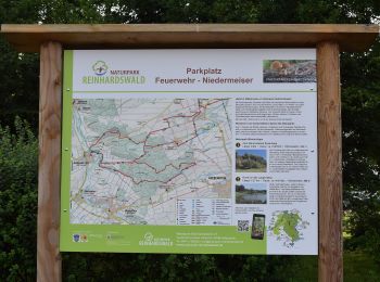
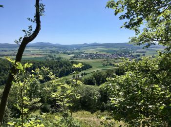
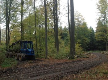
• Trail created by Naturpark Reinhardswald.
A piedi
• Trail created by Naturpark Reinhardswald.
A piedi
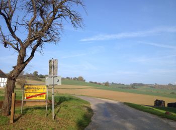
• Trail created by Hessisch-Waldeckischer Gebirgs- und Heimatverein(HWGHV).
A piedi
A piedi
A piedi
A piedi
A piedi
A piedi
A piedi
A piedi
A piedi
A piedi
A piedi
A piedi
A piedi
A piedi
A piedi
A piedi

A piedi
• unvollständig
20 percorsi visualizzati su 24
Applicazione GPS da escursionismo GRATUITA
 SityTrail
IGN / Istituti geografici
SityTrail World
Il mondo è tuo