


14,2 km | 18,9 km-effort
Bad Münster am Stein-Ebernburg: Scopri i migliori percorsi: 9 a piedi. Tutti questi percorsi, itinerari e attività outdoor sono disponibili nelle nostre app SityTrail per smartphone e tablet.
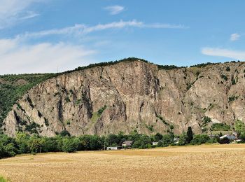
A piedi


• Trail created by Stadt Bad Kreuznach.
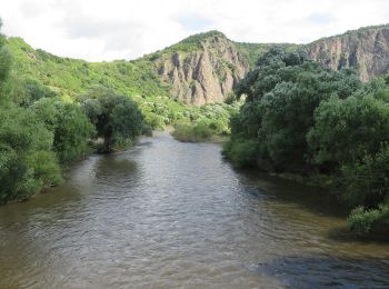
A piedi
• Trail created by Stadt Bad Kreuznach.
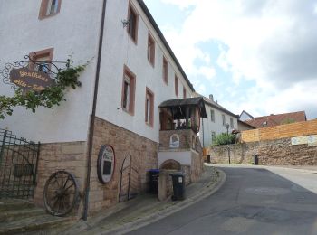
A piedi
• Trail created by Stadt Bad Kreuznach.

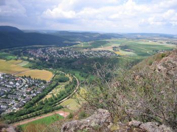
A piedi
• Trail created by Stadt Bad Kreuznach.

A piedi
• Trail created by Stadt Bad Kreuznach.
A piedi
• Trail created by Stadt Bad Kreuznach.

A piedi
• Trail created by Stadt Bad Kreuznach.
A piedi
• Trail created by Stadt Bad Kreuznach.

A piedi
• Trail created by Wanderfreunde Naheland. Symbol: quadratisches weißes Schild mit rotem Rand;2 rote gleichgerichtete ...
9 percorsi visualizzati su 9
Applicazione GPS da escursionismo GRATUITA
 SityTrail
IGN / Istituti geografici
SityTrail World
Il mondo è tuo