


57 km | 63 km-effort
Treptow-Köpenick: Scopri i migliori percorsi: 5 a piedi. Tutti questi percorsi, itinerari e attività outdoor sono disponibili nelle nostre app SityTrail per smartphone e tablet.
A piedi


• Trail created by Regionalparks Brandenburg. Gesamtlänge soll 140 km betragen Symbol: Roter Balken auf weißen Grund
A piedi
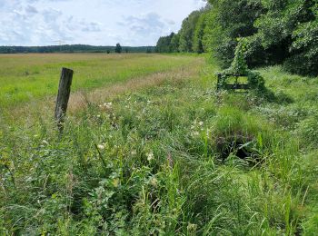
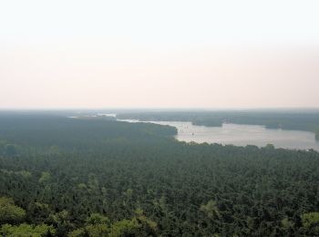
• Trail created by Tourismusverein Berlin Treptow-Köpenick e.V. Symbol: green bar on white ground
A piedi
• Symbol: green bar on white ground
A piedi
• Trail created by Tourismusverein Berlin Treptow-Köpenick e.V. Symbol: green bar on white ground

A piedi
• Trail created by Tourismusverein Berlin Treptow-Köpenick e.V. Symbol: yellow bar on white ground
5 percorsi visualizzati su 5
Applicazione GPS da escursionismo GRATUITA
 SityTrail
IGN / Istituti geografici
SityTrail World
Il mondo è tuo