


19,5 km | 26 km-effort
Ortenaukreis: Scopri i migliori percorsi: 103 a piedi e 114 marcia. Tutti questi percorsi, itinerari e attività outdoor sono disponibili nelle nostre app SityTrail per smartphone e tablet.
Marcia


A piedi
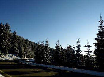
• Die insgesamt 44 Genießerpfade im Schwarzwald greifen alle ein bestimmtes Genussthema auf. Sito web: https://www.sch...
A piedi
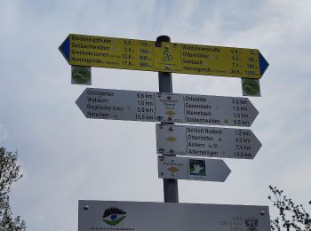
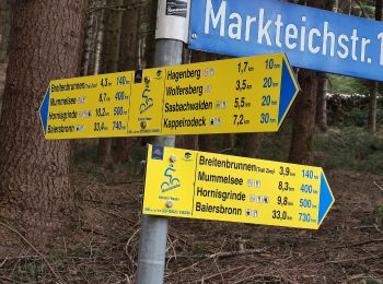
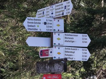
• Symbol: Genießerpfad (Bollenhut)
A piedi
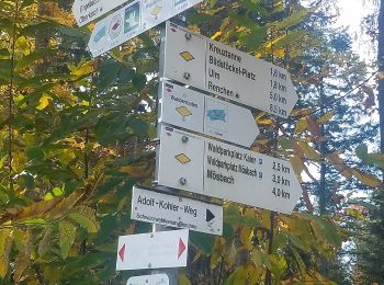
• Trail created by Schwarzwaldverein. Symbol: Liegende gelbe Raute auf weißem Grund
A piedi
• Symbol: Blaue Weintraube in roter Raute auf weißem Grund
A piedi
• Symbol: Blaue Weintraube in roter Raute auf weißem Grund
A piedi
• Trail created by Schwarzwaldverein. Symbol: Liegende gelbe Raute auf weißem Grund
A piedi
• Trail created by Verein für Ortsgeschichte Memprechtshofen.
A piedi
• Trail created by Schwarzwaldverein. Symbol: Liegende gelbe Raute auf weißem Grund
A piedi
• Trail created by Schwarzwaldverein Kehl-Hanauerland e.V..
A piedi
• Trail created by Schwarzwaldverein Kehl-Hanauerland e.V..
A piedi
• Trail created by Schwarzwaldverein. Symbol: Liegende gelbe Raute auf weißem Grund
A piedi
• Trail created by Schwarzwaldverein. Symbol: Liegende gelbe Raute auf weißem Grund
A piedi
• Trail created by Schwarzwaldverein. Symbol: Liegende gelbe Raute auf weißem Grund
A piedi
• Trail created by Schwarzwaldverein. Symbol: Liegende gelbe Raute auf weißem Grund
A piedi
• Trail created by Schwarzwaldverein. Symbol: Liegende gelbe Raute auf weißem Grund
A piedi
• Symbol: Genießerpfad (Bollenhut)
A piedi
• Trail created by Schwarzwaldverein. Symbol: Liegende gelbe Raute auf weißem Grund
A piedi
• Trail created by Gemeinde Schuttertal.
A piedi
• Trail created by Schwarzwaldverein. Symbol: yellow diamond on white
20 percorsi visualizzati su 217
Applicazione GPS da escursionismo GRATUITA
 SityTrail
IGN / Istituti geografici
SityTrail World
Il mondo è tuo