


4,1 km | 5,1 km-effort
Mössingen: Scopri i migliori percorsi: 6 a piedi. Tutti questi percorsi, itinerari e attività outdoor sono disponibili nelle nostre app SityTrail per smartphone e tablet.
A piedi


• Trail created by Schwaebischer Albverein - Ortsgruppe Mössingen. Symbol: Blue Pointer on white background
A piedi
• Trail created by Schwaebischer Albverein - Ortsgruppe Mössingen. Symbol: Blue Pointer on white background
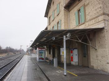
A piedi
• Trail created by Stadt Mössingen.
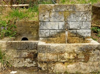
A piedi
• Trail created by Schwaebischer Albverein - Ortsgruppe Bodelshausen. Symbol: Blue cross on white background

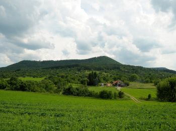
A piedi
• Trail created by Schwäbischer Alb Verein. Symbol: Blaue Gabel auf weißem Grund

A piedi
• Trail created by Schwaebischer Albverein - Ortsgruppe Mössingen. Symbol: Blue Diamond on white background
6 percorsi visualizzati su 6
Applicazione GPS da escursionismo GRATUITA
 SityTrail
IGN / Istituti geografici
SityTrail World
Il mondo è tuo