![](/images/other/stat-length.png)
- Percorsi
- A piedi
- Germany
- Baden-Württemberg
- Landkreis Freudenstadt
- Horb am Neckar
- Gemarkung Horb am Neckar
Gemarkung Horb am Neckar, Horb am Neckar, A piedi : I migliori sentieri, percorsi e passeggiate
Gemarkung Horb am Neckar: Scopri i migliori percorsi: 5 a piedi. Tutti questi percorsi, itinerari e attività outdoor sono disponibili nelle nostre app SityTrail per smartphone e tablet.
I percorsi migliori (0})
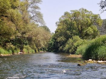
![Percorso A piedi Horb am Neckar - Äußerer Alternativweg - Horb am Neckar - Weg-3 - Mühringen - Isenburg - Photo](https://media.geolcdn.com/t/350/260/465fc885-a83c-48ec-bf97-5cb7abfcba81.jpeg&format=jpg&maxdim=2)
![A piedi A piedi](https://static1.geolcdn.com/sitytour/trail-icons/100.png)
Km
A piedi
![](/images/other/stat-length.png)
![](https://static1.geolcdn.com/siteimages/upload/files/1508320355ic_sort_den_pos_24dp.png)
![](https://static1.geolcdn.com/siteimages/upload/files/1508320355ic_sort_den_neg_24dp.png)
![](https://static1.geolcdn.com/siteimages/upload/files/16400158638029165_repeat_loop_refresh_sync_direction_icon.png)
• Trail created by Schwäbischer Albverein - Ortsgruppe Horb am Neckar. Symbol: blaues Kreuz auf weißem Grund
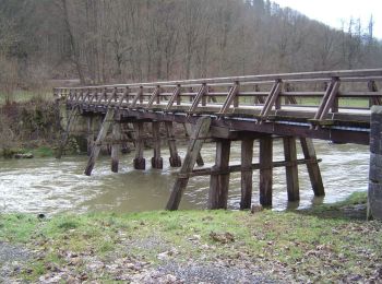
![Percorso A piedi Horb am Neckar - Äußerer Alternativweg - Dettingen - Weg-1 - Fischingen - Isenburg - Photo](https://media.geolcdn.com/t/350/260/203689a9-6f25-4539-b589-1ddf95a862ec.jpeg&format=jpg&maxdim=2)
![A piedi A piedi](https://static1.geolcdn.com/sitytour/trail-icons/100.png)
Km
A piedi
![](/images/other/stat-length.png)
![](https://static1.geolcdn.com/siteimages/upload/files/1508320355ic_sort_den_pos_24dp.png)
![](https://static1.geolcdn.com/siteimages/upload/files/1508320355ic_sort_den_neg_24dp.png)
![](https://static1.geolcdn.com/siteimages/upload/files/16400158638029165_repeat_loop_refresh_sync_direction_icon.png)
• Trail created by Schwäbischer Albverein - Ortsgruppe Dettingen. Symbol: rotes Kreuz auf weißem Grund
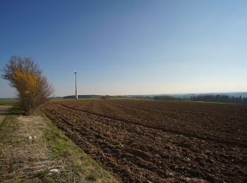
![Percorso A piedi Horb am Neckar - Horb - Glatttal - Photo](https://media.geolcdn.com/t/350/260/2f81838a-8d92-42e8-8ad4-8ad33c092112.jpeg&format=jpg&maxdim=2)
![A piedi A piedi](https://static1.geolcdn.com/sitytour/trail-icons/100.png)
Km
A piedi
![](/images/other/stat-length.png)
![](https://static1.geolcdn.com/siteimages/upload/files/1508320355ic_sort_den_pos_24dp.png)
![](https://static1.geolcdn.com/siteimages/upload/files/1508320355ic_sort_den_neg_24dp.png)
![](https://static1.geolcdn.com/siteimages/upload/files/16400158638029165_repeat_loop_refresh_sync_direction_icon.png)
• Trail created by Schwarzwaldverein. Symbol: Blaue Raute auf weißem Grund
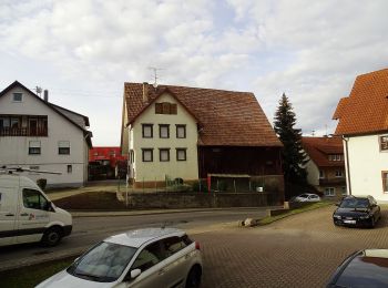
![Percorso A piedi Horb am Neckar - Horb - Altheimer Heiligenwald - Photo](https://media.geolcdn.com/t/350/260/3feb7777-95d6-47ee-8837-cae878ea36f9.jpeg&format=jpg&maxdim=2)
![A piedi A piedi](https://static1.geolcdn.com/sitytour/trail-icons/100.png)
Km
A piedi
![](/images/other/stat-length.png)
![](https://static1.geolcdn.com/siteimages/upload/files/1508320355ic_sort_den_pos_24dp.png)
![](https://static1.geolcdn.com/siteimages/upload/files/1508320355ic_sort_den_neg_24dp.png)
![](https://static1.geolcdn.com/siteimages/upload/files/16400158638029165_repeat_loop_refresh_sync_direction_icon.png)
• Trail created by Schwarzwaldverein. Symbol: Blaue Raute auf weißem Grund
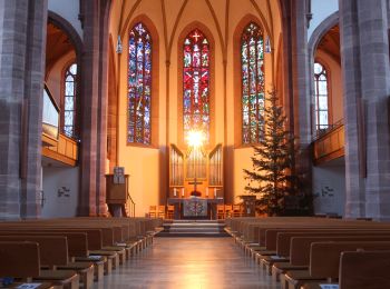
![Percorso A piedi Horb am Neckar - Horb - Nagold - Photo](https://media.geolcdn.com/t/350/260/bee477d0-a4a3-4da7-8aad-6699f336b2cc.jpeg&format=jpg&maxdim=2)
![A piedi A piedi](https://static1.geolcdn.com/sitytour/trail-icons/100.png)
Km
A piedi
![](/images/other/stat-length.png)
![](https://static1.geolcdn.com/siteimages/upload/files/1508320355ic_sort_den_pos_24dp.png)
![](https://static1.geolcdn.com/siteimages/upload/files/1508320355ic_sort_den_neg_24dp.png)
![](https://static1.geolcdn.com/siteimages/upload/files/16400158638029165_repeat_loop_refresh_sync_direction_icon.png)
• Trail created by Schwarzwaldverein. Symbol: Blaue Raute auf weißem Grund
5 percorsi visualizzati su 5
Applicazione GPS da escursionismo GRATUITA