


5,4 km | 6,9 km-effort
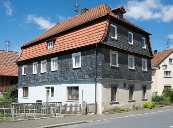
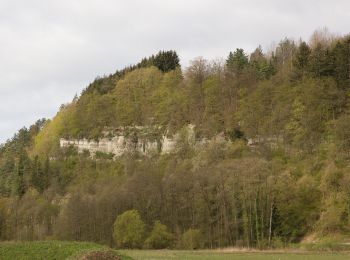
Marktrodach: Scopri i migliori percorsi: 9 a piedi. Tutti questi percorsi, itinerari e attività outdoor sono disponibili nelle nostre app SityTrail per smartphone e tablet.
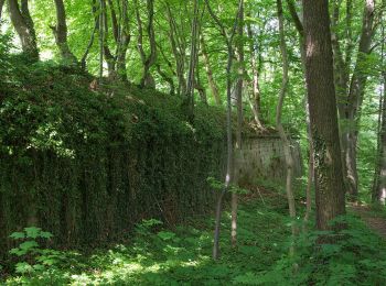
A piedi


• Trail created by Frankenwaldverein.
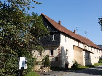
A piedi
• Trail created by Frankenwaldverein e.V.. Symbol: grün KC63 auf weißem Grund Sito web: https://www.frankenwaldverei...
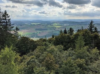
A piedi
• Trail created by Frankenwaldverein.
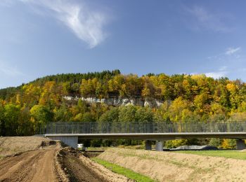
A piedi
• Trail created by Frankenwaldverein e.V.. Symbol: grün KC65 auf weißem Grund Sito web: https://www.frankenwaldverei...
A piedi
• Trail created by Frankenwaldverein e.V.. Symbol: blau 59 auf weißem Grund Sito web: https://www.frankenwaldverein.de/
A piedi
• Trail created by Frankenwaldverein. Symbol: blau 58 auf weißem Grund
A piedi
A piedi
A piedi
9 percorsi visualizzati su 9
Applicazione GPS da escursionismo GRATUITA
 SityTrail
IGN / Istituti geografici
SityTrail World
Il mondo è tuo