


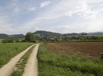
17 km | 25 km-effort
Basilea Campagna: Scopri i migliori percorsi: 35 a piedi e 18 marcia. Tutti questi percorsi, itinerari e attività outdoor sono disponibili nelle nostre app SityTrail per smartphone e tablet.

Marcia


•
A piedi
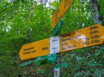
• Symbol: gelber Diamant
A piedi
• Symbol: gelbe Raute
A piedi
• Symbol: gelber Diamant (waagrecht)
A piedi
• Symbol: gelbe Raute
A piedi
• Symbol: gelber Diamant (waagrecht)
A piedi
• Symbol: gelber Diamant (waagrecht)
A piedi
• Symbol: gelber Diamant (waagrecht)
A piedi
• Symbol: gelber Diamant
A piedi
• Augst-Rankhof-Büchlihau- Chapf Symbol: gelber Diamant
A piedi
• Symbol: gelber Diamant (waagrecht)
A piedi
• Hölstein-Langenbruck Symbol: gelber Diamant

A piedi
• Symbol: gelber Diamant
A piedi
• Frenkendorf - Pratteln Symbol: gelbe Raute
A piedi
• Symbol: gelbe Raute
A piedi
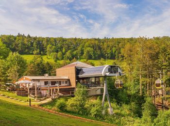
• Gondelbahn - Wasserfallen Symbol: gelber Diamant (waagrecht)
A piedi
• Schafmatt - Zeglingen Symbol: gelber Diamant
A piedi
• Symbol: gelber Diamant (waagrecht)
A piedi
• Kaiseraugst-Hersberg Symbol: gelber Diamant
A piedi
• Junkerschloss - Ormalingen Symbol: gelber Diamant (waagrecht)
20 percorsi visualizzati su 53
Applicazione GPS da escursionismo GRATUITA
 SityTrail
IGN / Istituti geografici
SityTrail World
Il mondo è tuo