


11,2 km | 14,3 km-effort
Bezirk Baden: Scopri i migliori percorsi: 43 a piedi e 4 marcia. Tutti questi percorsi, itinerari e attività outdoor sono disponibili nelle nostre app SityTrail per smartphone e tablet.
A piedi


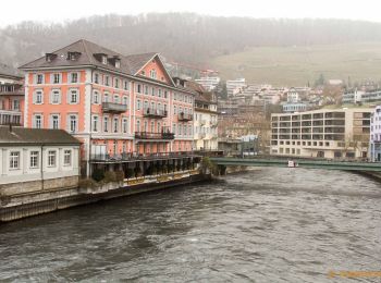
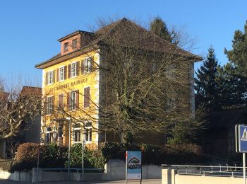
• Welcome to the culture and spa town! Baden is ready and presents itself for the upcoming opening of the FORTYSEVEN we...
A piedi
• Welcome to the culture and spa town! Baden is ready and presents itself for the upcoming opening of the FORTYSEVEN we...
A piedi
• Symbol: Schwarze 1 auf gelbem Hintergrund
A piedi
• Symbol: Schwarze 2 auf orangem Hintergrund
A piedi
• Symbol: Weisse 5 auf violettem Hintergrund

A piedi
• Symbol: Weisse 7 auf blauem Hintergrund
A piedi
• Trail created by Zürcher Wanderwege ZAW. Symbol: gelbe Raute
A piedi
• Trail created by Verein Aargauer Wanderwege. Baden - Spittelau Symbol: gelbe Raute
A piedi
• Symbol: gelbe Raute
A piedi
• Trail created by Verein Aargauer Wanderwege. Ennetturgi Holzbrücke - Steinenbüel Symbol: gelber Diamant
A piedi
• Mooshalden - Eggetsacher Symbol: gelbe Raute
A piedi
• Trail created by Zürcher Wanderwege ZAW. Symbol: gelbe Raute
A piedi
• Symbol: gelbe Raute
A piedi
• Würenlos Brücke - Dietikon - Oetwil a. d. L. Symbol: gelbe Raute
A piedi
• Würenlos Brücke - Tägerhard Symbol: gelbe Raute
A piedi
• Trail created by Verein Aargauer Wanderwege. Ennetbaden - Freienwil Symbol: gelber Diamant
A piedi
• Trail created by Verein Aargauer Wanderwege. Killwangen - Wettingen Symbol: gelber Diamant
A piedi
• Trail created by Verein Aargauer Wanderwege. Baltenschwil - Hasenberg Symbol: gelber Diamant
A piedi
• Trail created by Verein Aargauer Wanderwege. Wettingen - Rüsler Symbol: gelber Diamant
A piedi
• Trail created by Verein Aargauer Wanderwege. Baden - Wettingen Symbol: gelber Diamant
20 percorsi visualizzati su 47
Applicazione GPS da escursionismo GRATUITA
 SityTrail
IGN / Istituti geografici
SityTrail World
Il mondo è tuo