


14,5 km | 19,4 km-effort
Bezirk Schärding: Scopri i migliori percorsi: 56 a piedi. Tutti questi percorsi, itinerari e attività outdoor sono disponibili nelle nostre app SityTrail per smartphone e tablet.
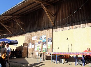
A piedi


• Trail created by Sankt Willibald.
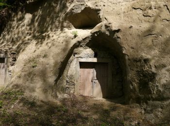
A piedi
• Trail created by Taufkirchen an der Pram.
A piedi
• Trail created by Taufkirchen an der Pram.
A piedi
• Trail created by Taufkirchen an der Pram.
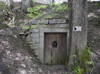
A piedi
• Trail created by Rainbach.
A piedi
• Trail created by Rainbach.
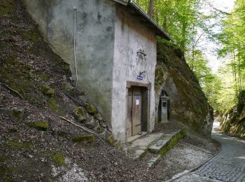
A piedi
• Trail created by Enzenkirchen.
A piedi
• Trail created by Enzenkirchen.
A piedi
• Trail created by Enzenkirchen.
A piedi
• Trail created by Enzenkirchen.
A piedi
• Trail created by Enzenkirchen.
A piedi
• Trail created by Gemeinde Diersbach.
A piedi
• Trail created by Marktgemeinde Raab.
A piedi
• Trail created by Marktgemeinde Raab.
A piedi
• Trail created by Marktgemeinde Raab.
A piedi
• Trail created by Marktgemeinde Raab.
A piedi
• Trail created by Münzkirchen.
A piedi
• Trail created by Münzkirchen.
A piedi
• Trail created by Kopfing.
A piedi
• Trail created by Kopfing.
20 percorsi visualizzati su 56
Applicazione GPS da escursionismo GRATUITA
 SityTrail
IGN / Istituti geografici
SityTrail World
Il mondo è tuo