![](/images/other/stat-length.png)
- Percorsi
- A piedi
- Austria
- Oberösterreich
- Bezirk Linz-Land
Bezirk Linz-Land, Oberösterreich, A piedi : I migliori sentieri, percorsi e passeggiate
Bezirk Linz-Land: Scopri i migliori percorsi: 49 a piedi. Tutti questi percorsi, itinerari e attività outdoor sono disponibili nelle nostre app SityTrail per smartphone e tablet.
I percorsi migliori (0})
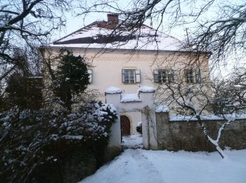
![Percorso A piedi Kronstorf - Seewegrunde - Photo](https://media.geolcdn.com/t/350/260/25203def-35fc-43e2-8505-ed2cd186bae8.jpeg&format=jpg&maxdim=2)
![A piedi A piedi](https://static1.geolcdn.com/sitytour/trail-icons/100.png)
Km
A piedi
![](/images/other/stat-length.png)
![](https://static1.geolcdn.com/siteimages/upload/files/1508320355ic_sort_den_pos_24dp.png)
![](https://static1.geolcdn.com/siteimages/upload/files/1508320355ic_sort_den_neg_24dp.png)
![](https://static1.geolcdn.com/siteimages/upload/files/16400158638029165_repeat_loop_refresh_sync_direction_icon.png)
• Trail created by Naturfreunde Kronstorf.
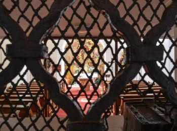
![Percorso A piedi Niederneukirchen - Wanderweg 5 Kapellen und Wegkreuze - Photo](https://media.geolcdn.com/t/350/260/b93fa360-269f-445e-8413-0e5f4f5c3754.jpeg&format=jpg&maxdim=2)
![A piedi A piedi](https://static1.geolcdn.com/sitytour/trail-icons/100.png)
Km
A piedi
![](/images/other/stat-length.png)
![](https://static1.geolcdn.com/siteimages/upload/files/1508320355ic_sort_den_pos_24dp.png)
![](https://static1.geolcdn.com/siteimages/upload/files/1508320355ic_sort_den_neg_24dp.png)
![](https://static1.geolcdn.com/siteimages/upload/files/16400158638029165_repeat_loop_refresh_sync_direction_icon.png)
• Trail created by Gemeinde Niederneukirchen. Symbol: Lila Kreis auf gelbem Grund und in schwarz die Ziffer 5
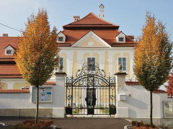
![Percorso A piedi Wilhering - Sternweg Wilhering-Linde - Photo](https://media.geolcdn.com/t/350/260/3a7c71ae-8fad-4b5f-9e66-e4051e40716a.jpeg&format=jpg&maxdim=2)
![A piedi A piedi](https://static1.geolcdn.com/sitytour/trail-icons/100.png)
Km
A piedi
![](/images/other/stat-length.png)
![](https://static1.geolcdn.com/siteimages/upload/files/1508320355ic_sort_den_pos_24dp.png)
![](https://static1.geolcdn.com/siteimages/upload/files/1508320355ic_sort_den_neg_24dp.png)
![](https://static1.geolcdn.com/siteimages/upload/files/16400158638029165_repeat_loop_refresh_sync_direction_icon.png)
• Symbol: Edelstahlplatte mit gelber Beschriftung der nächsten Ziele, Wanderer und kleine Pfeile
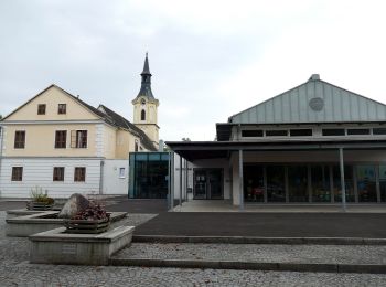
![Percorso A piedi Wilhering - Sternweg Dörnbach-Linde - Photo](https://media.geolcdn.com/t/350/260/d408f0be-ce8c-4780-9569-5acfd2f23c15.jpeg&format=jpg&maxdim=2)
![A piedi A piedi](https://static1.geolcdn.com/sitytour/trail-icons/100.png)
Km
A piedi
![](/images/other/stat-length.png)
![](https://static1.geolcdn.com/siteimages/upload/files/1508320355ic_sort_den_pos_24dp.png)
![](https://static1.geolcdn.com/siteimages/upload/files/1508320355ic_sort_den_neg_24dp.png)
![](https://static1.geolcdn.com/siteimages/upload/files/16400158638029165_repeat_loop_refresh_sync_direction_icon.png)
• Symbol: Edelstahlplatte mit gelber Beschriftung der nächsten Ziele, Wanderer und kleine Pfeile
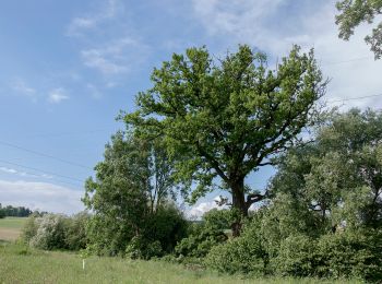
![Percorso A piedi Wilhering - Sternweg Dörnbach-Appersberg - Photo](https://media.geolcdn.com/t/350/260/05202317-a8d4-41a6-8ca1-b2c980b87377.jpeg&format=jpg&maxdim=2)
![A piedi A piedi](https://static1.geolcdn.com/sitytour/trail-icons/100.png)
Km
A piedi
![](/images/other/stat-length.png)
![](https://static1.geolcdn.com/siteimages/upload/files/1508320355ic_sort_den_pos_24dp.png)
![](https://static1.geolcdn.com/siteimages/upload/files/1508320355ic_sort_den_neg_24dp.png)
![](https://static1.geolcdn.com/siteimages/upload/files/16400158638029165_repeat_loop_refresh_sync_direction_icon.png)
• Symbol: Edelstahlplatte mit gelber Beschriftung der nächsten Ziele, Wanderer und Kleine Pfeile
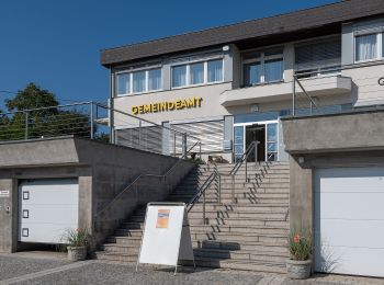
![Percorso A piedi Kematen an der Krems - Bauernroas - Photo](https://media.geolcdn.com/t/350/260/45c5642e-3917-47fa-9fa8-eb57cf0c39b1.jpeg&format=jpg&maxdim=2)
![A piedi A piedi](https://static1.geolcdn.com/sitytour/trail-icons/100.png)
Km
A piedi
![](/images/other/stat-length.png)
![](https://static1.geolcdn.com/siteimages/upload/files/1508320355ic_sort_den_pos_24dp.png)
![](https://static1.geolcdn.com/siteimages/upload/files/1508320355ic_sort_den_neg_24dp.png)
![](https://static1.geolcdn.com/siteimages/upload/files/16400158638029165_repeat_loop_refresh_sync_direction_icon.png)
• Trail created by Gemeide Kematen an der Krems. Symbol: gelber Hinweispfeil mit schwarzem Text "Bauernroas"
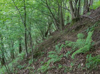
![Percorso A piedi Pucking - Pucking - Photo](https://media.geolcdn.com/t/350/260/c7783e00-fbe6-498f-82d4-edf34df24bd8.jpeg&format=jpg&maxdim=2)
![A piedi A piedi](https://static1.geolcdn.com/sitytour/trail-icons/100.png)
Km
A piedi
![](/images/other/stat-length.png)
![](https://static1.geolcdn.com/siteimages/upload/files/1508320355ic_sort_den_pos_24dp.png)
![](https://static1.geolcdn.com/siteimages/upload/files/1508320355ic_sort_den_neg_24dp.png)
![](https://static1.geolcdn.com/siteimages/upload/files/16400158638029165_repeat_loop_refresh_sync_direction_icon.png)
• Trail created by Gemeinde Pucking. Symbol: gelber Hinweispfeil mit schwarzem Text "Pucking"
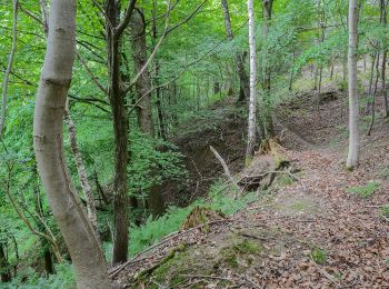
![Percorso A piedi Pucking - Wanderweg Sipbachtal - Photo](https://media.geolcdn.com/t/350/260/8facd9f8-6a45-4032-a752-3ca1f593b06b.jpeg&format=jpg&maxdim=2)
![A piedi A piedi](https://static1.geolcdn.com/sitytour/trail-icons/100.png)
Km
A piedi
![](/images/other/stat-length.png)
![](https://static1.geolcdn.com/siteimages/upload/files/1508320355ic_sort_den_pos_24dp.png)
![](https://static1.geolcdn.com/siteimages/upload/files/1508320355ic_sort_den_neg_24dp.png)
![](https://static1.geolcdn.com/siteimages/upload/files/16400158638029165_repeat_loop_refresh_sync_direction_icon.png)
• Trail created by Gemeinde Pucking. Symbol: gelber Hinweispfeil mit schwarzem Text "Wanderweg Sipbach"
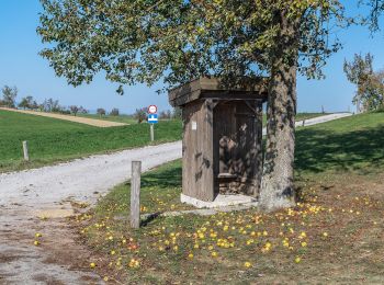
![Percorso A piedi Pucking - Wanderweg Schnadt - Photo](https://media.geolcdn.com/t/350/260/3865b87f-832e-421c-9833-55245546bab7.jpeg&format=jpg&maxdim=2)
![A piedi A piedi](https://static1.geolcdn.com/sitytour/trail-icons/100.png)
Km
A piedi
![](/images/other/stat-length.png)
![](https://static1.geolcdn.com/siteimages/upload/files/1508320355ic_sort_den_pos_24dp.png)
![](https://static1.geolcdn.com/siteimages/upload/files/1508320355ic_sort_den_neg_24dp.png)
![](https://static1.geolcdn.com/siteimages/upload/files/16400158638029165_repeat_loop_refresh_sync_direction_icon.png)
• Trail created by Gemeinde Pucking. Symbol: gelber Hinweispfeil mit schwarzem Text "Wanderweg Schnadt"
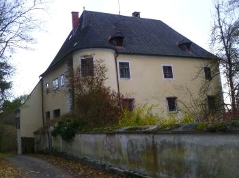
![Percorso A piedi Eggendorf im Traunkreis - Naturlehrpfad - Photo](https://media.geolcdn.com/t/350/260/87531291-6995-40ce-8046-4153ddbec4a9.jpeg&format=jpg&maxdim=2)
![A piedi A piedi](https://static1.geolcdn.com/sitytour/trail-icons/100.png)
Km
A piedi
![](/images/other/stat-length.png)
![](https://static1.geolcdn.com/siteimages/upload/files/1508320355ic_sort_den_pos_24dp.png)
![](https://static1.geolcdn.com/siteimages/upload/files/1508320355ic_sort_den_neg_24dp.png)
![](https://static1.geolcdn.com/siteimages/upload/files/16400158638029165_repeat_loop_refresh_sync_direction_icon.png)
• Trail created by Gemeinde Eggendorf im Traunkreis. Symbol: gelber Hinweispfeil mit schwarzem Text "Naturlehrpfad"
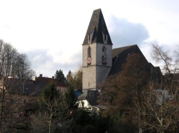
![Percorso A piedi Eggendorf im Traunkreis - 4 Gemeinden Wanderweg - Photo](https://media.geolcdn.com/t/350/260/d417daf7-3054-41dc-a94b-b9b4bcee44b6.jpeg&format=jpg&maxdim=2)
![A piedi A piedi](https://static1.geolcdn.com/sitytour/trail-icons/100.png)
Km
A piedi
![](/images/other/stat-length.png)
![](https://static1.geolcdn.com/siteimages/upload/files/1508320355ic_sort_den_pos_24dp.png)
![](https://static1.geolcdn.com/siteimages/upload/files/1508320355ic_sort_den_neg_24dp.png)
![](https://static1.geolcdn.com/siteimages/upload/files/16400158638029165_repeat_loop_refresh_sync_direction_icon.png)
• Trail created by Gemeinde Kematen an der Krems. Symbol: gelber Hinweispfeil mit schwarzem Text "4 Gemeinden Wanderweg"
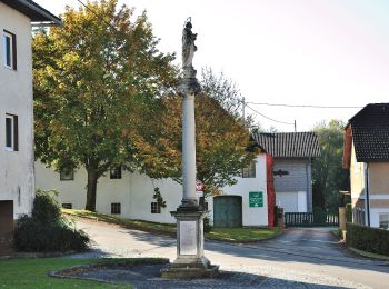
![Percorso A piedi Piberbach - Wanderweg Winden - Photo](https://media.geolcdn.com/t/350/260/0f416557-2011-4ccc-801f-210434ae409f.jpeg&format=jpg&maxdim=2)
![A piedi A piedi](https://static1.geolcdn.com/sitytour/trail-icons/100.png)
Km
A piedi
![](/images/other/stat-length.png)
![](https://static1.geolcdn.com/siteimages/upload/files/1508320355ic_sort_den_pos_24dp.png)
![](https://static1.geolcdn.com/siteimages/upload/files/1508320355ic_sort_den_neg_24dp.png)
![](https://static1.geolcdn.com/siteimages/upload/files/16400158638029165_repeat_loop_refresh_sync_direction_icon.png)
• Trail created by Gemeinde Piberbach. Symbol: gelber Hinweispfeil mit schwarzem Text "Wanderweg Winden"
![Percorso A piedi Piberbach - Wanderweg Weifersdorf - Photo](https://media.geolcdn.com/t/350/260/0f416557-2011-4ccc-801f-210434ae409f.jpeg&format=jpg&maxdim=2)
![A piedi A piedi](https://static1.geolcdn.com/sitytour/trail-icons/100.png)
Km
A piedi
![](/images/other/stat-length.png)
![](https://static1.geolcdn.com/siteimages/upload/files/1508320355ic_sort_den_pos_24dp.png)
![](https://static1.geolcdn.com/siteimages/upload/files/1508320355ic_sort_den_neg_24dp.png)
![](https://static1.geolcdn.com/siteimages/upload/files/16400158638029165_repeat_loop_refresh_sync_direction_icon.png)
• Trail created by Gemeinde Piberbach. Symbol: gelber Hinweispfeil mit schwarzem Text "Wanderweg Weifersdorf"
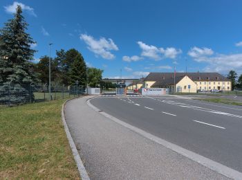
![Percorso A piedi Traun - Neubauer Runde - Photo](https://media.geolcdn.com/t/350/260/fb450d0a-ec5f-4167-b5f5-5e5f8ff1fee1.jpeg&format=jpg&maxdim=2)
![A piedi A piedi](https://static1.geolcdn.com/sitytour/trail-icons/100.png)
Km
A piedi
![](/images/other/stat-length.png)
![](https://static1.geolcdn.com/siteimages/upload/files/1508320355ic_sort_den_pos_24dp.png)
![](https://static1.geolcdn.com/siteimages/upload/files/1508320355ic_sort_den_neg_24dp.png)
![](https://static1.geolcdn.com/siteimages/upload/files/16400158638029165_repeat_loop_refresh_sync_direction_icon.png)
• Symbol: gelber Hinweispfeil mit schwarzem Text "HW2 Neubauer Runde"
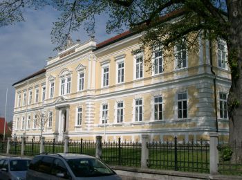
![Percorso A piedi Sankt Florian - Rundwanderweg Forstholz - Photo](https://media.geolcdn.com/t/350/260/82515fce-4fd7-496e-a6c4-227ce7fd6f3a.jpeg&format=jpg&maxdim=2)
![A piedi A piedi](https://static1.geolcdn.com/sitytour/trail-icons/100.png)
Km
A piedi
![](/images/other/stat-length.png)
![](https://static1.geolcdn.com/siteimages/upload/files/1508320355ic_sort_den_pos_24dp.png)
![](https://static1.geolcdn.com/siteimages/upload/files/1508320355ic_sort_den_neg_24dp.png)
![](https://static1.geolcdn.com/siteimages/upload/files/16400158638029165_repeat_loop_refresh_sync_direction_icon.png)
• Symbol: gelbe Wegweiser mit dem Text "6 Rundwanderweg Forstholz"
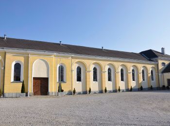
![Percorso A piedi Enns - Wanderweg Rabenberg - Photo](https://media.geolcdn.com/t/350/260/0e1b41bc-ad16-4970-89d9-0712095b2b11.jpeg&format=jpg&maxdim=2)
![A piedi A piedi](https://static1.geolcdn.com/sitytour/trail-icons/100.png)
Km
A piedi
![](/images/other/stat-length.png)
![](https://static1.geolcdn.com/siteimages/upload/files/1508320355ic_sort_den_pos_24dp.png)
![](https://static1.geolcdn.com/siteimages/upload/files/1508320355ic_sort_den_neg_24dp.png)
![](https://static1.geolcdn.com/siteimages/upload/files/16400158638029165_repeat_loop_refresh_sync_direction_icon.png)
• Symbol: Weißer Text auf grünem Schild
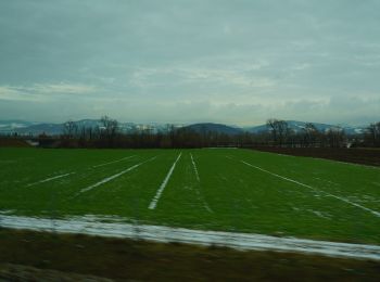
![Percorso A piedi Enns - AT-F - Photo](https://media.geolcdn.com/t/350/260/616ea15a-a868-4b70-8f52-e5fd7c835023.jpeg&format=jpg&maxdim=2)
![A piedi A piedi](https://static1.geolcdn.com/sitytour/trail-icons/100.png)
Km
A piedi
![](/images/other/stat-length.png)
![](https://static1.geolcdn.com/siteimages/upload/files/1508320355ic_sort_den_pos_24dp.png)
![](https://static1.geolcdn.com/siteimages/upload/files/1508320355ic_sort_den_neg_24dp.png)
![](https://static1.geolcdn.com/siteimages/upload/files/16400158638029165_repeat_loop_refresh_sync_direction_icon.png)
• Symbol: Weiße Richtungstafel mit weißem Kreuz auf blauer Welle, daneben eine rote Sonne (meistens aber schon weiß ver...
![Percorso A piedi Oftering - Wanderweg Holzhausenrunde - Photo](https://media.geolcdn.com/t/350/260/82dd111b-04e2-49cb-8b7b-9e83dcfe58a7.jpeg&format=jpg&maxdim=2)
![A piedi A piedi](https://static1.geolcdn.com/sitytour/trail-icons/100.png)
Km
A piedi
![](/images/other/stat-length.png)
![](https://static1.geolcdn.com/siteimages/upload/files/1508320355ic_sort_den_pos_24dp.png)
![](https://static1.geolcdn.com/siteimages/upload/files/1508320355ic_sort_den_neg_24dp.png)
![](https://static1.geolcdn.com/siteimages/upload/files/16400158638029165_repeat_loop_refresh_sync_direction_icon.png)
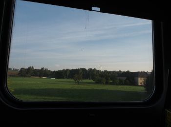
• Trail created by Gemeinde Oftering. Symbol: gelber Hinweispfeil mit schwarzem Text "O2 Halzhausenrunde"
![Percorso A piedi Kirchberg-Thening - Rundwanderweg Thening - Photo](https://media.geolcdn.com/t/350/260/1fda2cdd-c7df-4ea2-ab6c-9198319ca3ff.jpeg&format=jpg&maxdim=2)
![A piedi A piedi](https://static1.geolcdn.com/sitytour/trail-icons/100.png)
Km
A piedi
![](/images/other/stat-length.png)
![](https://static1.geolcdn.com/siteimages/upload/files/1508320355ic_sort_den_pos_24dp.png)
![](https://static1.geolcdn.com/siteimages/upload/files/1508320355ic_sort_den_neg_24dp.png)
![](https://static1.geolcdn.com/siteimages/upload/files/16400158638029165_repeat_loop_refresh_sync_direction_icon.png)
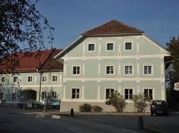
• Trail created by gemeinde Kirchberg Thening. Symbol: gelber Hinweispfeil mit schwarzem Text "KTH2 Thening"
![Percorso A piedi Pasching - Pasching Süd - Photo](https://media.geolcdn.com/t/350/260/3fd0285b-5d54-4ff2-b800-835877837a71.jpeg&format=jpg&maxdim=2)
![A piedi A piedi](https://static1.geolcdn.com/sitytour/trail-icons/100.png)
Km
A piedi
![](/images/other/stat-length.png)
![](https://static1.geolcdn.com/siteimages/upload/files/1508320355ic_sort_den_pos_24dp.png)
![](https://static1.geolcdn.com/siteimages/upload/files/1508320355ic_sort_den_neg_24dp.png)
![](https://static1.geolcdn.com/siteimages/upload/files/16400158638029165_repeat_loop_refresh_sync_direction_icon.png)
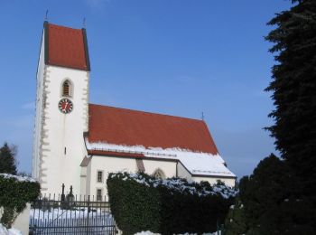
• Trail created by Gemeinde Pasching. Symbol: weiße Tafel mit rotem Pfeil und roten Kreisen
20 percorsi visualizzati su 49
Applicazione GPS da escursionismo GRATUITA