Randonnées

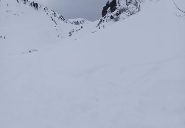
Randonnée Ski de randonnée La Clusaz - la terreuse  - Photo
Ski de randonnée
Patsuc

Ski de randonnée

Très facile
La Clusaz, Auvergne-Rhône-Alpes, Haute-Savoie, France
6,6 km | 16,9 km-effort
3h 58min
Non
Randonnée Ski de randonnée La Clusaz - la cent couteaux - Photo
Ski de randonnée
Patsuc

Ski de randonnée

Très facile
La Clusaz, Auvergne-Rhône-Alpes, Haute-Savoie, France
5 km | 15,3 km-effort
3h 55min
Non
Randonnée Ski de randonnée Beaufort - pointe du dard avec retour par le trou et col de la grande combe - Photo
Ski de randonnée
Patsuc

Ski de randonnée

Très facile
Beaufort, Auvergne-Rhône-Alpes, Savoie, France
15,5 km | 36 km-effort
5h 2min
Oui
Randonnée Marche Puy-Saint-Vincent - Lacs des Neyzets - Photo
Marche
Patsuc

Marche

Très difficile
Puy-Saint-Vincent, Provence-Alpes-Côte d'Azur, Hautes-Alpes, France
19,1 km | 40 km-effort
5h 42min
Oui
Randonnée Marche Vallouise-Pelvoux - Glacier Noir  - Photo
Marche
Patsuc

Marche

Difficile
Vallouise-Pelvoux, Provence-Alpes-Côte d'Azur, Hautes-Alpes, France
7,5 km | 16,4 km-effort
4h 22min
Oui
Randonnée sport La Clusaz - 2022-03-09_08h59m18_SityTrail - 3160145 - combe-mont-charvet - Photo
sport
Patsuc

sport

Très facile
La Clusaz, Auvergne-Rhône-Alpes, Haute-Savoie, France
5 km | 13 km-effort
Inconnu
Non
Randonnée sport Jausiers - 2021-08-23_14h55m39_Zepp20210622221617.gpx.file - Photo
sport
Patsuc

sport

Très facile
Jausiers, Provence-Alpes-Côte d'Azur, Alpes-de-Haute-Provence, France
17,6 km | 30 km-effort
Inconnu
Non
Randonnée Marche Vallouise-Pelvoux - La une - Photo
Marche
Patsuc

Marche

Difficile
Vallouise-Pelvoux, Provence-Alpes-Côte d'Azur, Hautes-Alpes, France
13,1 km | 26 km-effort
3h 42min
Oui
Randonnée Marche Les Vigneaux - remise en jambe - Photo
Marche
Patsuc

Marche

Très facile
Les Vigneaux, Provence-Alpes-Côte d'Azur, Hautes-Alpes, France
7,4 km | 12,3 km-effort
2h 36min
Oui
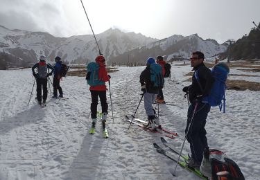
Randonnée Ski de randonnée Mont-Dore - Couloir A' - Photo
Ski de randonnée
Patsuc

Ski de randonnée

Facile
Mont-Dore, Auvergne-Rhône-Alpes, Puy-de-Dôme, France
7,1 km | 13,5 km-effort
3h 13min
Oui
Randonnée Ski de randonnée Mont-Dore - le capucin - Photo
Ski de randonnée
Patsuc

Ski de randonnée

Très facile
Mont-Dore, Auvergne-Rhône-Alpes, Puy-de-Dôme, France
9 km | 15,6 km-effort
4h 32min
Oui
Randonnée Ski de randonnée Saint-Christophe-sur-Guiers - la morte - Photo
Ski de randonnée
Patsuc

Ski de randonnée

Très facile
Saint-Christophe-sur-Guiers, Auvergne-Rhône-Alpes, Isère, France
12,7 km | 23 km-effort
10h 32min
Oui
Randonnée Ski de randonnée Saint-Christophe-sur-Guiers - Belvédère Arpison depuis la Ruche - Photo
Ski de randonnée
Patsuc

Ski de randonnée

Très facile
Saint-Christophe-sur-Guiers, Auvergne-Rhône-Alpes, Isère, France
12,3 km | 18,4 km-effort
7h 9min
Oui
Randonnée Ski alpin Val-Cenis - termignon - Photo
Ski alpin
Patsuc

Ski alpin

Moyen
Val-Cenis, Auvergne-Rhône-Alpes, Savoie, France
12,5 km | 34 km-effort
2h 26min
Non

Fermer
Mes abonnements