


8,8 km | 13,6 km-effort

Utilisateur GUIDE


Application GPS de randonnée GRATUITE
 SityTrail
IGN / Instituts géographiques
SityTrail World
Le monde est à vous
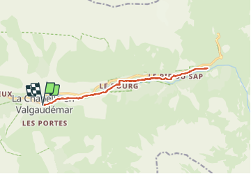
Randonnée Marche de 15,9 km à découvrir à Provence-Alpes-Côte d'Azur, Hautes-Alpes, La Chapelle-en-Valgaudémar. Cette randonnée est proposée par Orcal37.
La Chapelle-en-Valgaudémar - AR sur GR54 Vallée de la Séveraisse jusqu'au Refuge du Clot - 15.9km 450m 5h55 (50mn) - 2018 07 01
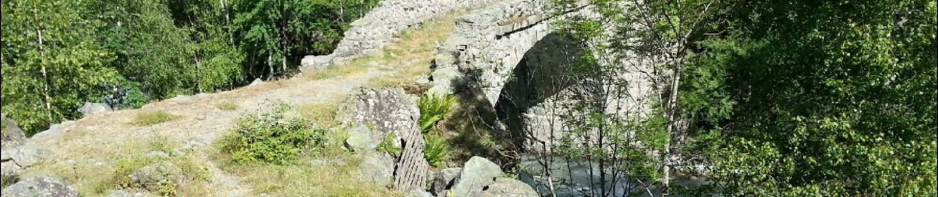
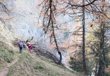
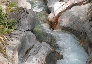
 - 2018 07 01 - Photo 1")
 - 2018 07 01 - Photo 2")
 - 2018 07 01 - Photo 3")
 - 2018 07 01 - Photo 4")
 - 2018 07 01 - Photo 5")
 - 2018 07 01 - Photo 6")
 - 2018 07 01 - Photo 7")

Marche

Marche

Marche

Marche

Marche

Marche

Marche
Marche
Marche