


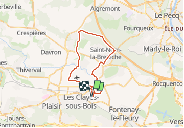

10,7 km | 13,7 km-effort


Utilisateur


Application GPS de randonnée GRATUITE
 SityTrail
IGN / Instituts géographiques
SityTrail World
Le monde est à vous
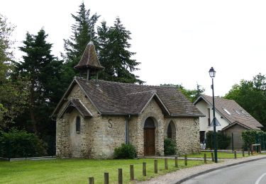
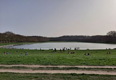
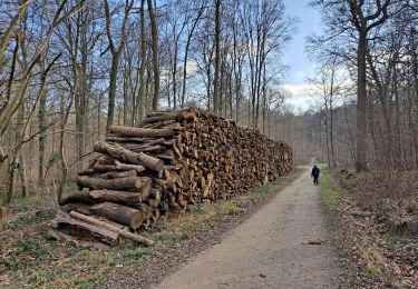
Randonnée Autre activité de 22 km à découvrir à Île-de-France, Yvelines, Villepreux. Cette randonnée est proposée par bernardb2.
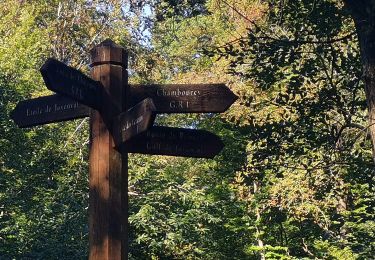
Balade vtt depart. Villepreux vers aérodrome puis chavenay passage à côté golf puis forêt retour par st nom la breteche
Marche

Marche

Marche
A pied

V.T.T.
Marche
V.T.C.
Marche