


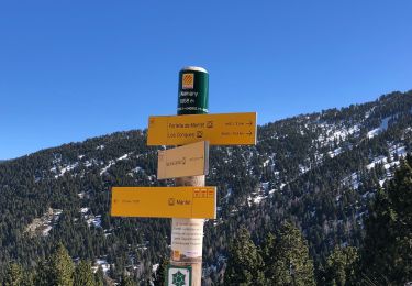
20 km | 36 km-effort


Utilisateur


Application GPS de randonnée GRATUITE
 SityTrail
IGN / Instituts géographiques
SityTrail World
Le monde est à vous
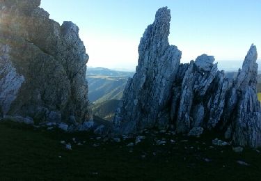
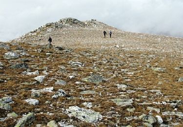
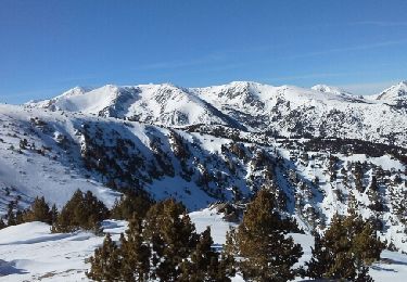
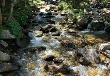
Randonnée Marche de 10 km à découvrir à Occitanie, Pyrénées-Orientales, Py. Cette randonnée est proposée par MarieFrancoise.
départ du refuge Da Silva .la piste est ouverte exceptionnellement le jour de la transhumance des chevaux .
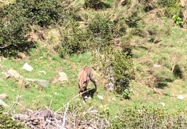
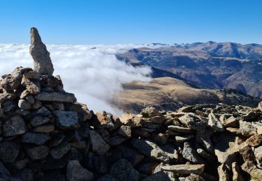
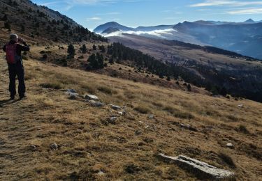
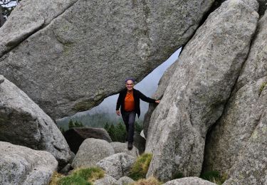
très jolie rando


Marche
Marche
Raquettes à neige
Marche
Marche
Marche
Marche
Marche
Marche