


8,1 km | 16,2 km-effort

Utilisateur


Application GPS de randonnée GRATUITE
 SityTrail
IGN / Instituts géographiques
SityTrail World
Le monde est à vous
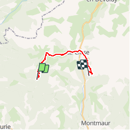
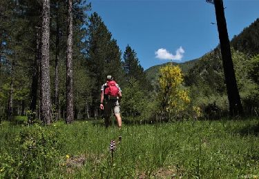
Randonnée Marche de 15,3 km à découvrir à Provence-Alpes-Côte d'Azur, Hautes-Alpes, Aspres-sur-Buëch. Cette randonnée est proposée par destras.
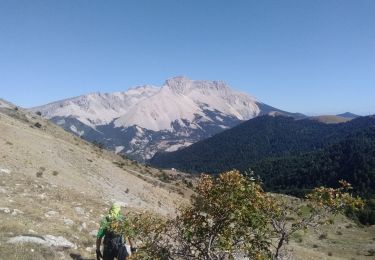
…par le col du Lauteret et le col du grand vallon. Les plus courageux monteront au col de Plate Contier très proche. Descente jusqu’à la Cluse en Dévoluy à travers des pâturages d’altitude. Arrivée à Rabioux en longeant le pierrier de la montagne d’Aurouze (un des plus grand d’Europe).


Marche

Marche

Marche

Marche

Marche

Marche
A pied
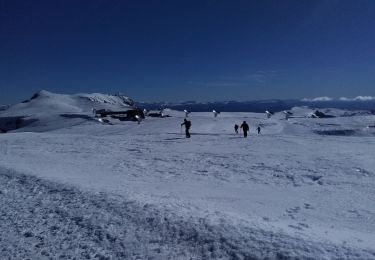
Ski de randonnée
Marche