


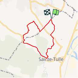


17,7 km | 24 km-effort


Utilisateur


Application GPS de randonnée GRATUITE
 SityTrail
IGN / Instituts géographiques
SityTrail World
Le monde est à vous
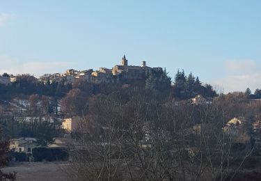
Randonnée Marche de 6,4 km à découvrir à Provence-Alpes-Côte d'Azur, Alpes-de-Haute-Provence, Pierrevert. Cette randonnée est proposée par liocol.
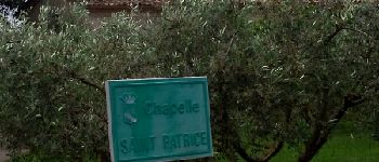
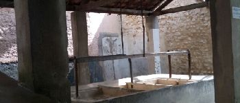
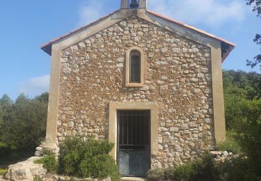
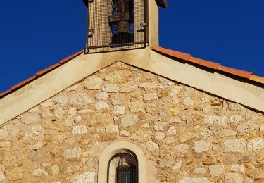
Randonnée à faire un lendemain de pluie. Nous passons par la Chapelle St Patrice et le Lavoir de Ste Tulle.


Marche
Marche

Marche
Marche
Marche
Marche
Marche
Marche
Marche