


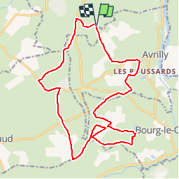

21 km | 25 km-effort


Utilisateur


Application GPS de randonnée GRATUITE
 SityTrail
IGN / Instituts géographiques
SityTrail World
Le monde est à vous
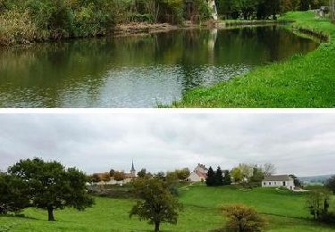
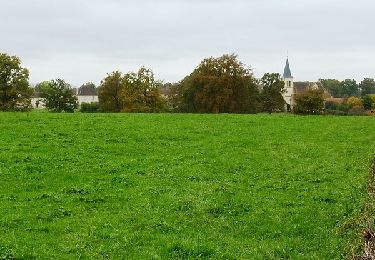
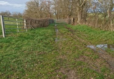
Randonnée Moteur de 21 km à découvrir à Auvergne-Rhône-Alpes, Allier, Luneau. Cette randonnée est proposée par yadraq01.
nouveau tracé, a voir si il est bon !
attention a la locaterie Pinaud "commune le bouchaud "le maire a fait apposer 1 panneau BO interdisant l'accès aux véhicules motorisés debut JUIN, sauf tracteurs evidement


Marche
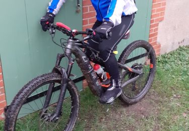
V.T.T.
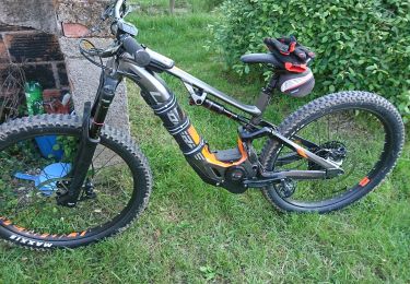
V.T.T.
V.T.T.
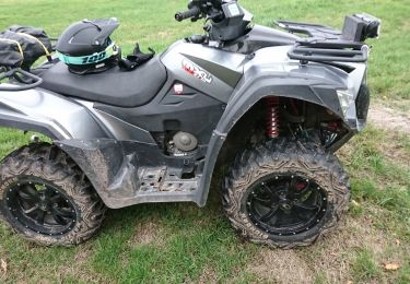
Quad
V.T.T.
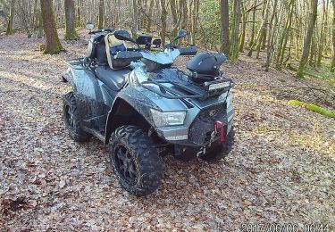
Quad
V.T.T.

V.T.T.