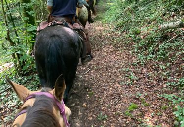
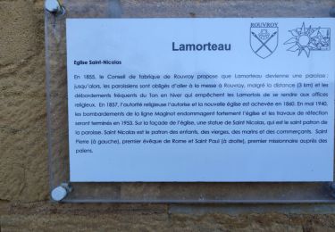
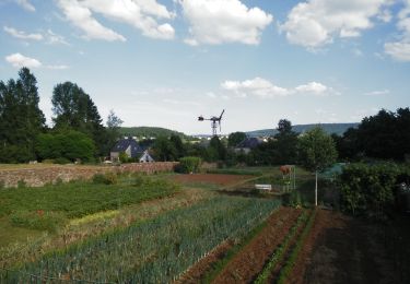
Randonnée Marche Rouvroy - TGaumaise J2 - Photo
 leon40
leon40

Utilisateur

© OpenStreetMap contributors
Longueur
Longueur
27 km
Altitude max
Altitude max
329 m
Dénivelé positif
Dénivelé positif
554 m
Km-Effort
Km-Effort  
34 km
Altitude min
Altitude min
184 m
Dénivelé négatif
Dénivelé négatif
528 m
Boucle
Boucle
Non
Date de création :
2018-06-26 15:23:55.703
Dernière modification :
2018-06-26 15:23:55.703

(0 Avis)

Marche
Marche
7h19
Difficulté : Moyen

Scannez ce code QR pour ouvrir la randonnée dans l'application SityTrail

Application GPS de randonnée GRATUITE

Logo SityTrail SityTrail

IGN / Instituts géographiques

Télécharger SityTrail sur l'App Store Télécharger SityTrail sur Google Play

Logo SityTrail SityTrail World

Le monde est à vous

Télécharger SityTrail sur l'App Store Télécharger SityTrail sur Google Play Télécharger SityTrail sur Huawei AppGallery

À propos

Randonnée Marche de 27 km à découvrir à Wallonie, Luxembourg, Rouvroy. Cette randonnée est proposée par leon40.

Profil altimétrique

Points d'intérêt

Point d'intérêt Othe - C-5-6 - Photo
leon40
OTHE 
Point d'intérêt Flassigny - C 6-7 - Photo
leon40
FLASSIGNY 
Point d'intérêt Montmédy - C 7-8 - Photo
leon40
MONTMÉDY 
Point d'intérêt Montmédy - cr - Photo
leon40
MONTMÉDY 
Point d'intérêt Rouvroy - Danielle Paridans - Photo
leon40
Point d'intérêt Montmédy - C 8-9 - Photo
leon40
MONTMÉDY 
Point d'intérêt Montmédy - Danielle Paridans - Photo
leon40
Point d'intérêt Montmédy - J 2-3 - Photo
leon40
MONTMÉDY 
Point d'intérêt Rouvroy - B-F C5-6 frontière  - Photo
leon40

Localisation

Pays :
Belgique
Région :
Wallonie
Département/Province :
Luxembourg
Commune :
Rouvroy
Localité :
Torgny
Départ:(Dec)
Départ:(UTM)
679250 ; 5486851 (31U) N.

Randonnées à proximité

Randonnée Marche Rouvroy - Torgny. Natura 2000, des sites qui valent le détour. Lx5 - Photo
Marche
GUIDE+

Marche

Moyen
(3)
Rouvroy, Wallonie, Luxembourg, Belgique
7,5 km | 11 km-effort
2h 18min
Oui
Randonnée A pied Marville - Boucle de promenade à Marville 1, France - Photo
A pied
GUIDE+

A pied

Facile
Marville, Grand Est, Meuse, France
4,1 km | 5,2 km-effort
1h 11min
Oui
Randonnée A pied Villécloye - La Lorraine Gaumaise - Photo
A pied
GUIDE+

A pied

Très difficile
Villécloye, Grand Est, Meuse, France
37 km | 46 km-effort
10h 26min
Non
Randonnée Marche Rouvroy - RB-Lu-18_Torgny - Photo
Marche
PRO

Marche

Très facile
Rouvroy, Wallonie, Luxembourg, Belgique
21 km | 28 km-effort
5h 54min
Oui
Randonnée Cheval Rouvroy - rallye 2014 - Photo
Cheval
christianegabriel

Cheval

Moyen
(1)
Rouvroy, Wallonie, Luxembourg, Belgique
26 km | 32 km-effort
4h 1min
Oui
Randonnée Randonnée équestre Charency-Vezin - 2ème jour chez Juliette  - Photo
Randonnée équestre
GUIDE
raline

Randonnée équestre

Facile
Charency-Vezin, Grand Est, Meurthe-et-Moselle, France
9 km | 11,9 km-effort
1h 34min
Oui
Randonnée Marche Rouvroy - gite-de-gaume:  la troisième cuesta - Photo
Marche
dragonchef

Marche

Difficile
Rouvroy, Wallonie, Luxembourg, Belgique
26 km | 35 km-effort
4h 52min
Oui
Randonnée A pied Rouvroy - La Provençale - Photo
A pied
GUIDE+

A pied

Facile
Rouvroy, Wallonie, Luxembourg, Belgique
2,5 km | 3,8 km-effort
51min
Oui
Randonnée V.T.T. Virton - Saint-Mard II  -  Balade_VTT_12kms  - Photo
V.T.T.
Pascal L

V.T.T.

Facile
Virton, Wallonie, Luxembourg, Belgique
12,2 km | 14,4 km-effort
35min
Oui


Fermer
Mes abonnements