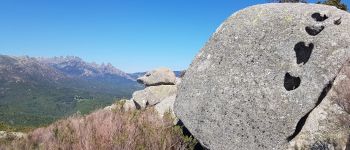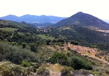

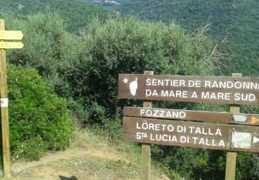
C3 - Mare a mare Sud: Lévie - Quenza - Serra di Scopamena

patjobou
Utilisateur

Longueur
23 km

Altitude max
1144 m

Dénivelé positif
991 m

Km-Effort
35 km

Altitude min
573 m

Dénivelé négatif
735 m
Boucle
Non
Date de création :
2018-06-26 14:58:09.066
Dernière modification :
2019-01-18 09:28:43.65
7h21
Difficulté : Difficile

Application GPS de randonnée GRATUITE
À propos
Randonnée Marche de 23 km à découvrir à Corse, Corse-du-Sud, Levie. Cette randonnée est proposée par patjobou.
Description
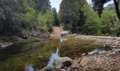
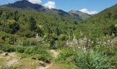
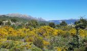
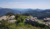
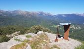
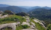
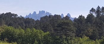
Très belle étape avec des paysages variés. La variante par la 'Punta di a Cuciurpula' vaut le coup: Très belle vue à 360° plus une table d'orientation, et elle n'est pas très longue.
Localisation
Pays :
France
Région :
Corse
Département/Province :
Corse-du-Sud
Commune :
Levie
Localité :
Unknown
Départ:(Dec)
Départ:(UTM)
510284 ; 4616378 (32T) N.
Commentaires
Randonnées à proximité
Sainte-Lucie-de-Tallano


Marche
Difficile
(3)
Sainte-Lucie-de-Tallano,
Corse,
Corse-du-Sud,
France

5,2 km | 9,3 km-effort
2h 30min
Oui
Mare a Mare Sud - De Santa Lucia di Tallano à Burgo


Marche
Difficile
(4)
Sainte-Lucie-de-Tallano,
Corse,
Corse-du-Sud,
France

15,8 km | 26 km-effort
6h 0min
Non
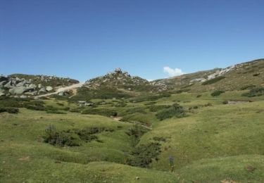
Mare a Mare Sud - De Levie à Serra di Scopamena


Marche
Très difficile
(1)
Levie,
Corse,
Corse-du-Sud,
France

18,8 km | 30 km-effort
6h 0min
Non
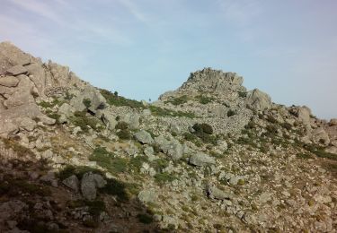
Punta di a Vacca Morta


A pied
Facile
Porto-Vecchio,
Corse,
Corse-du-Sud,
France

6,7 km | 11 km-effort
2h 29min
Oui
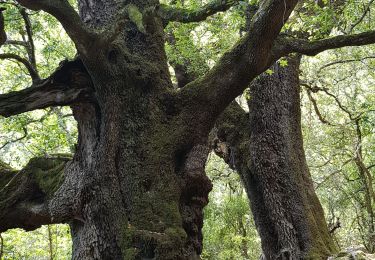
Santa Luccia a Burgo


Marche
Très facile
Sainte-Lucie-de-Tallano,
Corse,
Corse-du-Sud,
France

18,7 km | 30 km-effort
8h 8min
Non

levie a Serra di Scopemene et Santa Luccia di Tallamo


Marche
Très facile
Levie,
Corse,
Corse-du-Sud,
France

34 km | 47 km-effort
25h 15min
Non
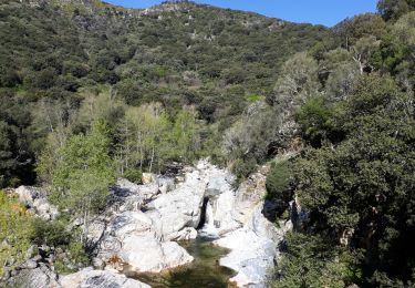
Mare a Mare 5 Santa lucia du talano - Burgl


Marche
Difficile
Sainte-Lucie-de-Tallano,
Corse,
Corse-du-Sud,
France

16,8 km | 27 km-effort
6h 3min
Non
MAM 5 ème jour


Marche
Difficile
Sainte-Lucie-de-Tallano,
Corse,
Corse-du-Sud,
France

16,8 km | 28 km-effort
5h 43min
Non


 SityTrail


