


4 km | 5,1 km-effort


Utilisateur


Application GPS de randonnée GRATUITE
 SityTrail
IGN / Instituts géographiques
SityTrail World
Le monde est à vous
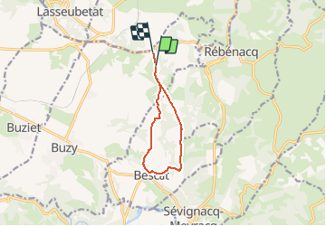
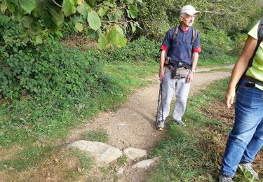
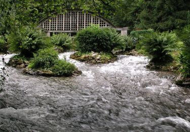
Randonnée Marche de 8,8 km à découvrir à Nouvelle-Aquitaine, Pyrénées-Atlantiques, Buzy. Cette randonnée est proposée par jmmol.
Distance: 8.784 km
Time: 1 hour, 56 minutes, 15 seconds
Average Speed: 4.534 km/hour
http://pathtracks.com/users/31321/paths/143830
A pied
A pied
A pied

A pied
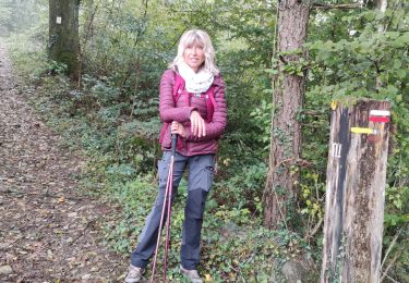
Marche
Marche

Marche

Marche
A pied