


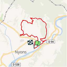

17,2 km | 29 km-effort

Utilisateur


Application GPS de randonnée GRATUITE
 SityTrail
IGN / Instituts géographiques
SityTrail World
Le monde est à vous
Randonnée Marche de 7,8 km à découvrir à Auvergne-Rhône-Alpes, Drôme, Nyons. Cette randonnée est proposée par GerardBouche.
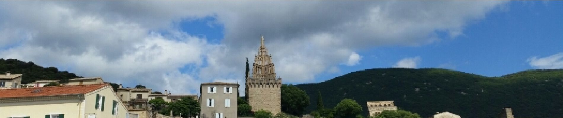
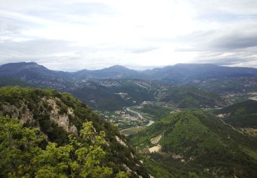
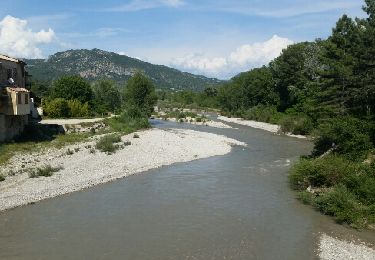
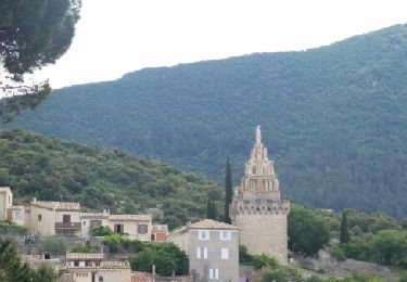
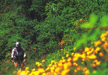
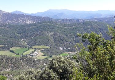
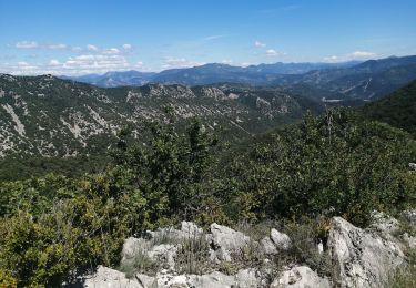
Agréable randonnée par le Pont Roman puis une montée par le sentier du Devès dans la garrigue avec d'innombrables points de vue sur Nyons et les Baronnies.
Au sommet, la chapelle N-D-de-Réparat avant d'entamer la descente par le sentier des oliviers.
 - Photo 1")
 - Photo 2")
 - Photo 3")
 - Photo 4")
 - Photo 5")
 - Photo 6")
 - Photo 7")
 - Photo 8")
 - Photo 9")
 - Photo 10")
 - Photo 11")
 - Photo 12")
 - Photo 13")
Marche
Marche
Marche
V.T.T.
Marche
Marche
Marche

Vélo de route