


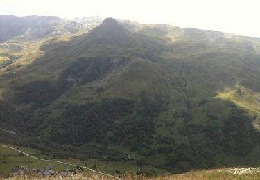
12,2 km | 13,3 km-effort


Utilisateur


Application GPS de randonnée GRATUITE
 SityTrail
IGN / Instituts géographiques
SityTrail World
Le monde est à vous
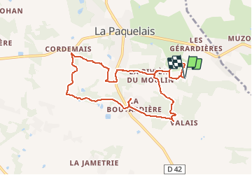
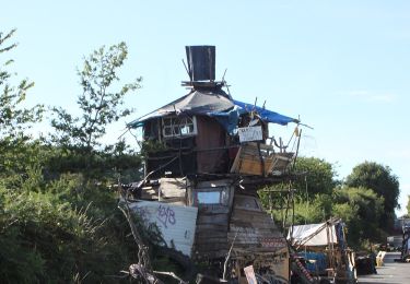
Randonnée Cheval de 8,8 km à découvrir à Pays de la Loire, Loire-Atlantique, Vigneux-de-Bretagne. Cette randonnée est proposée par Sevie44.
première boucle avec Safran au départ du centre équestre de la CLÉ
très beaux chemins boisés, un peu de cailloux et d'eau
A pied
A pied
Marche
A pied

Marche

Vélo

Vélo
Marche
Marche